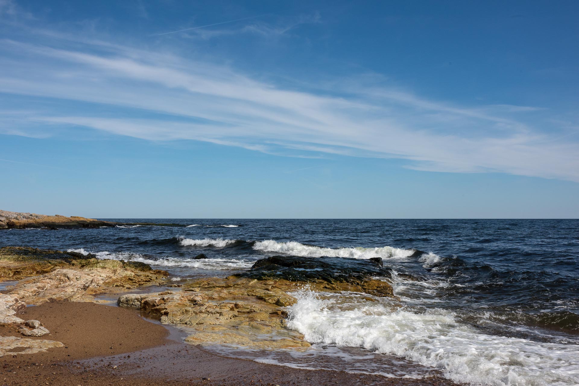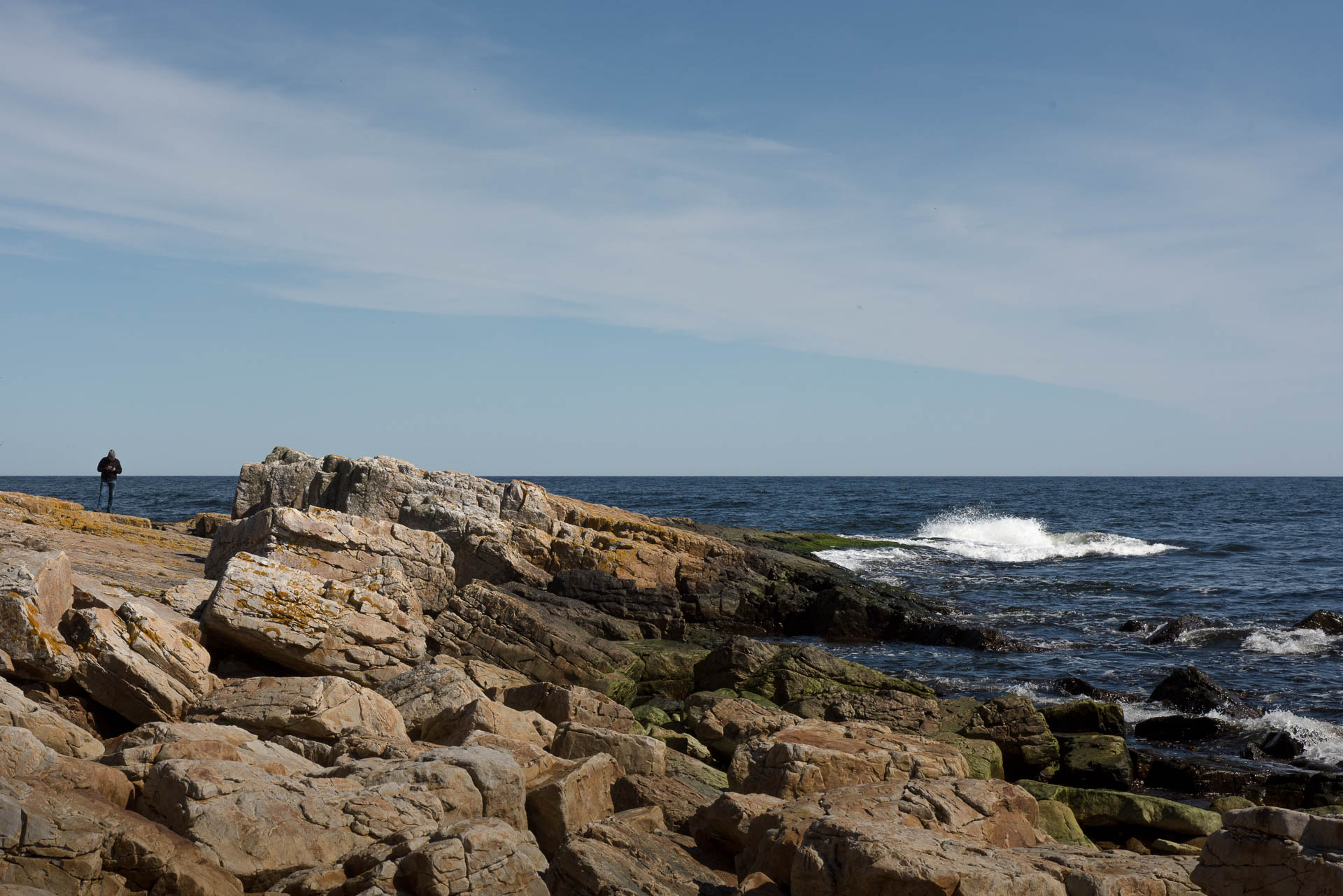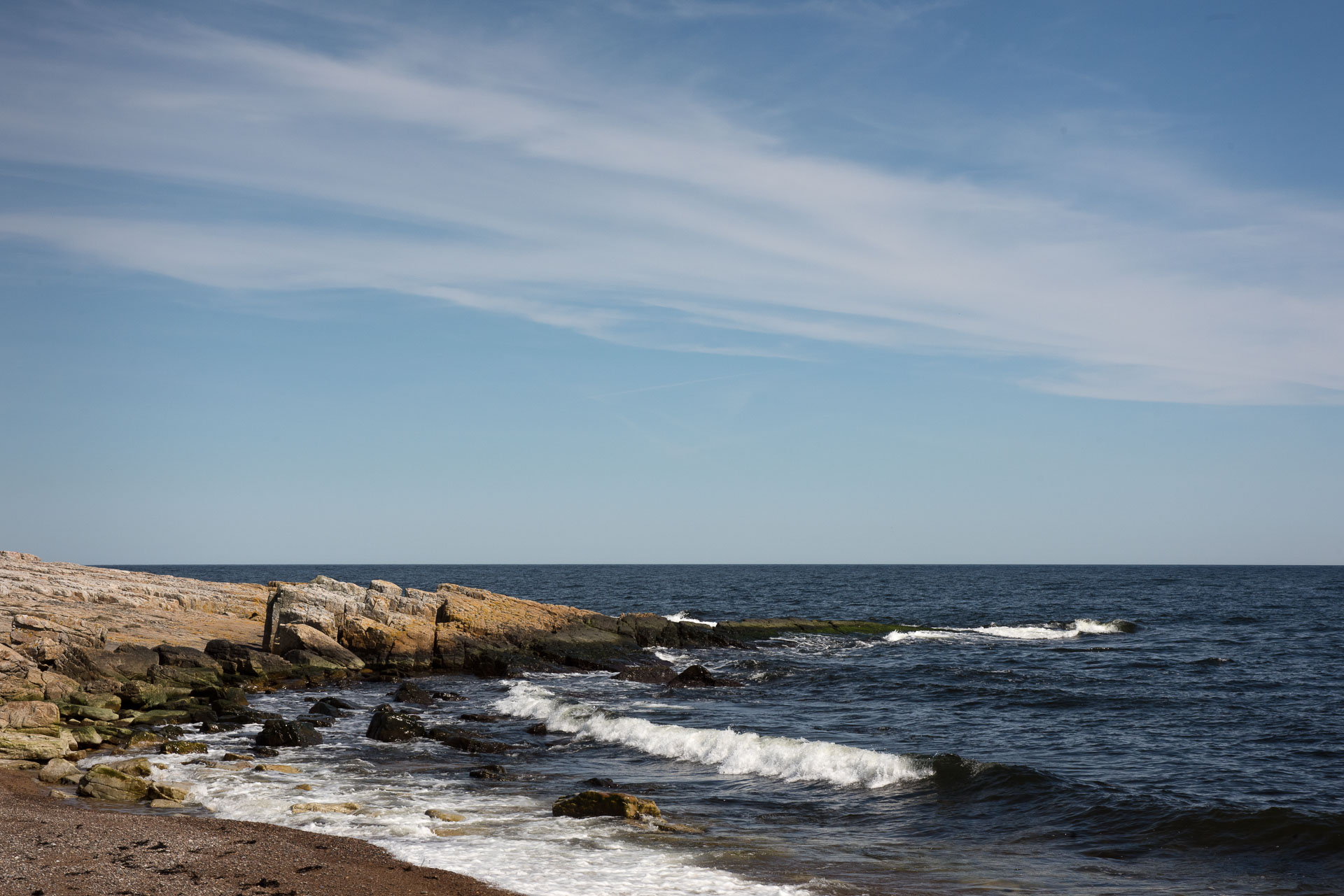

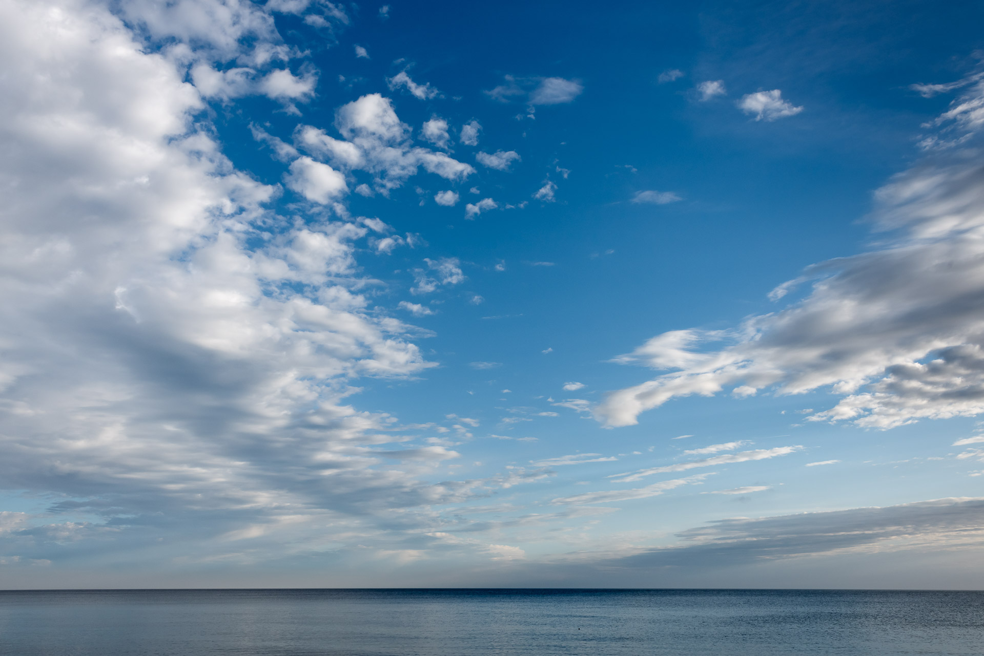
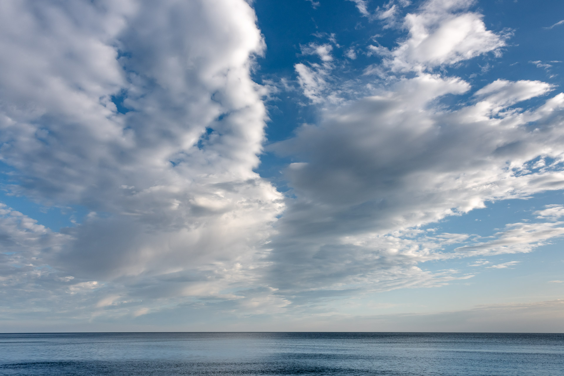
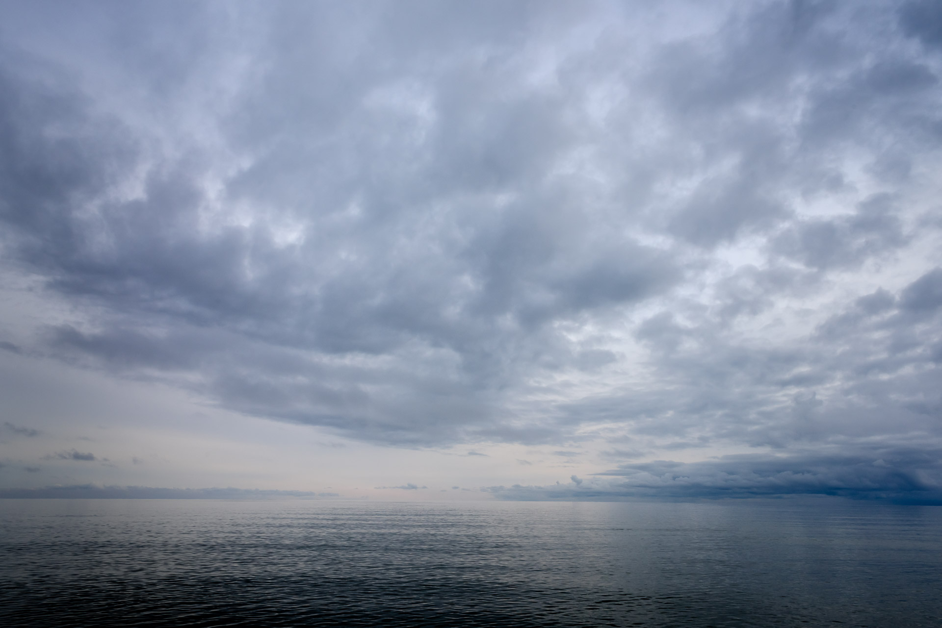
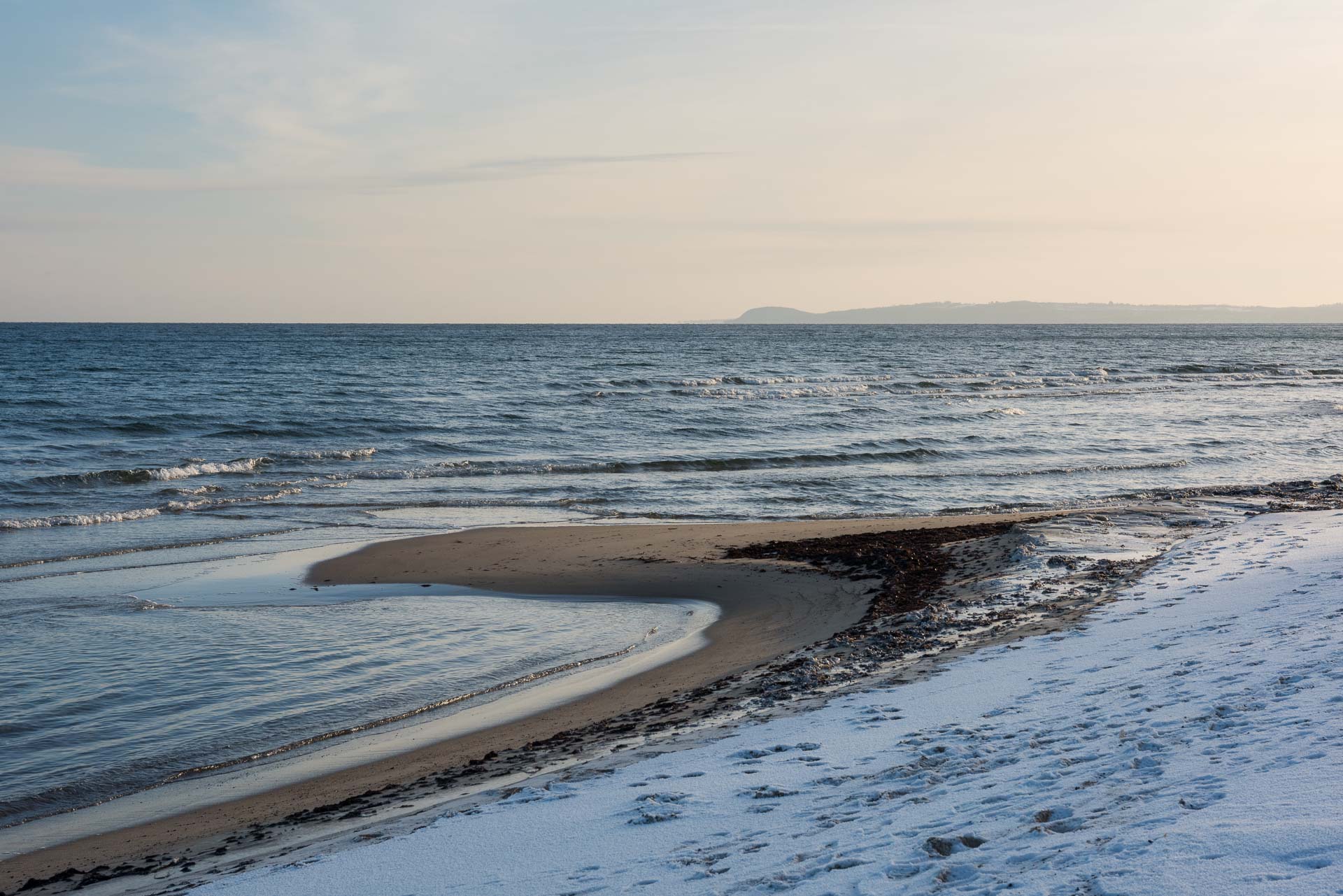
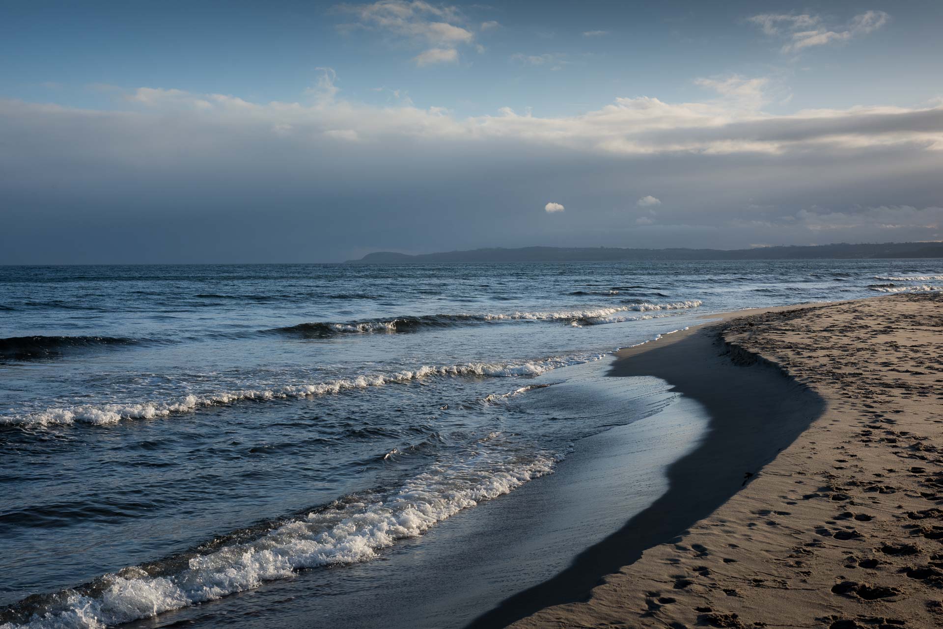
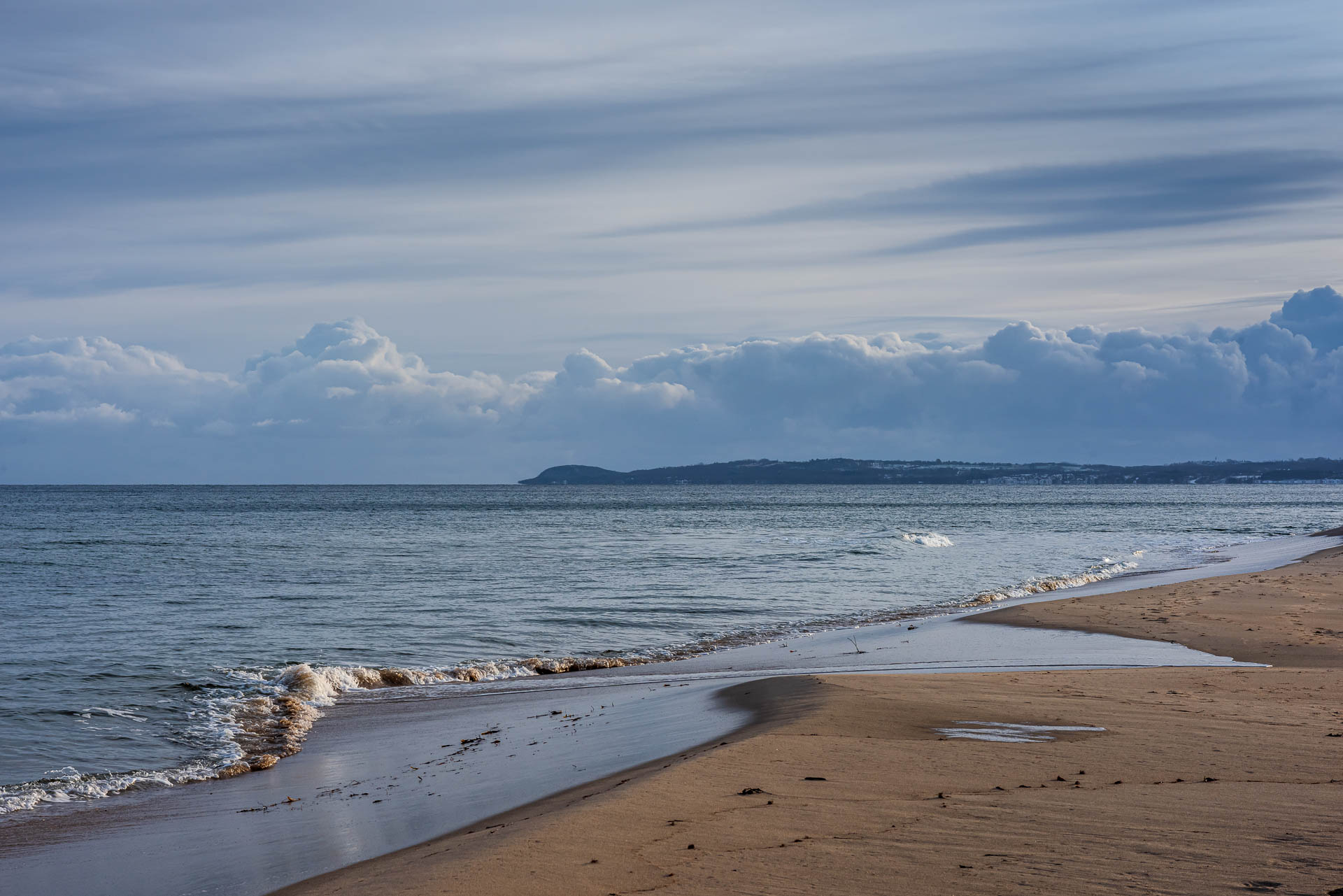
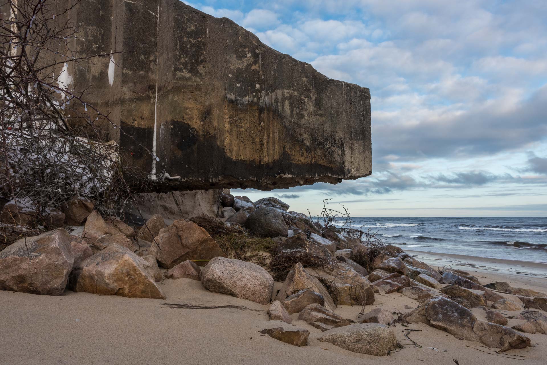
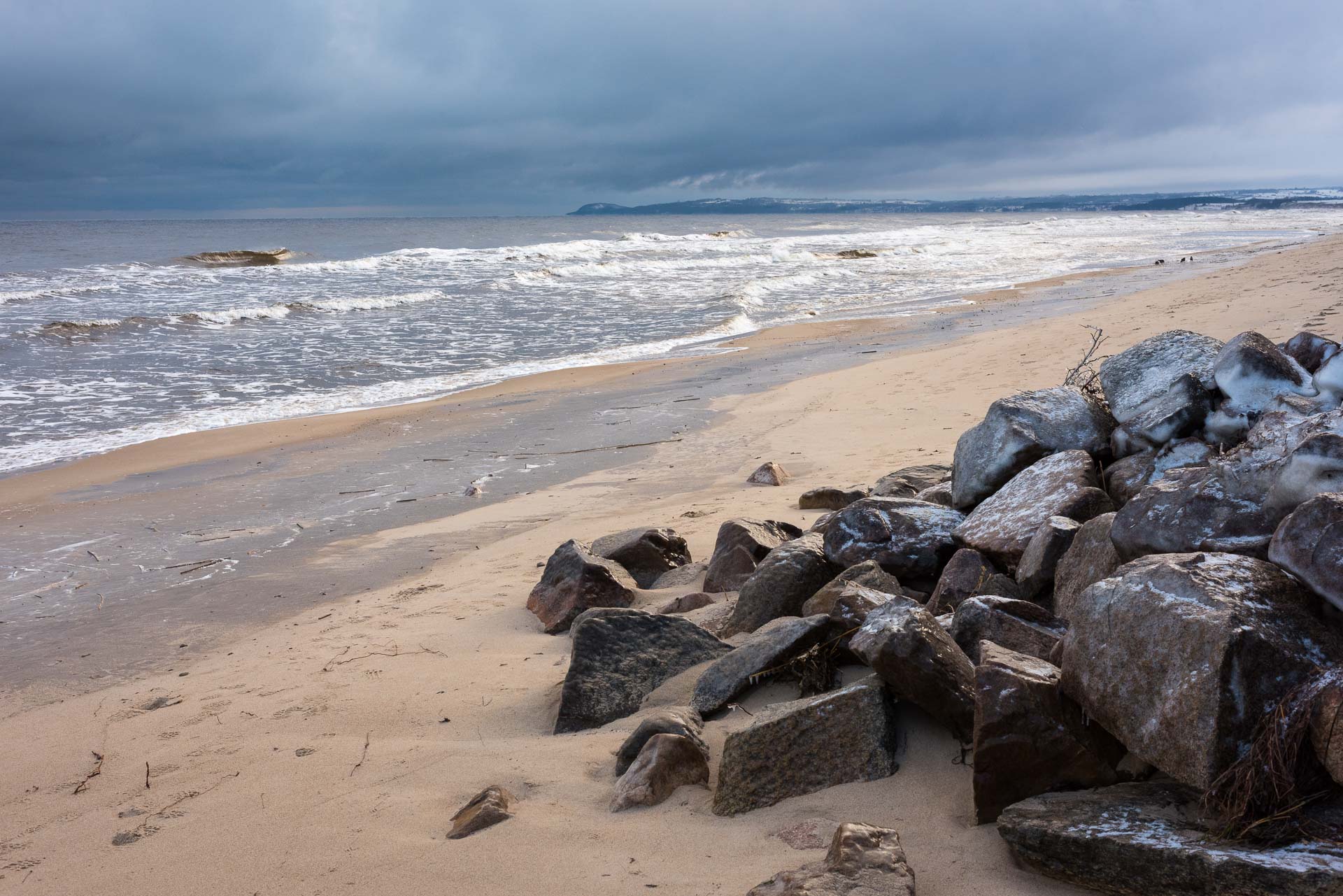
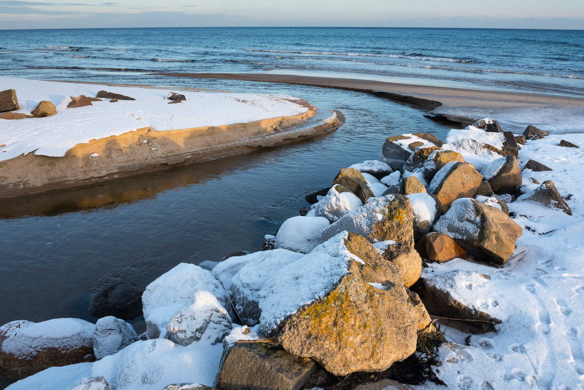
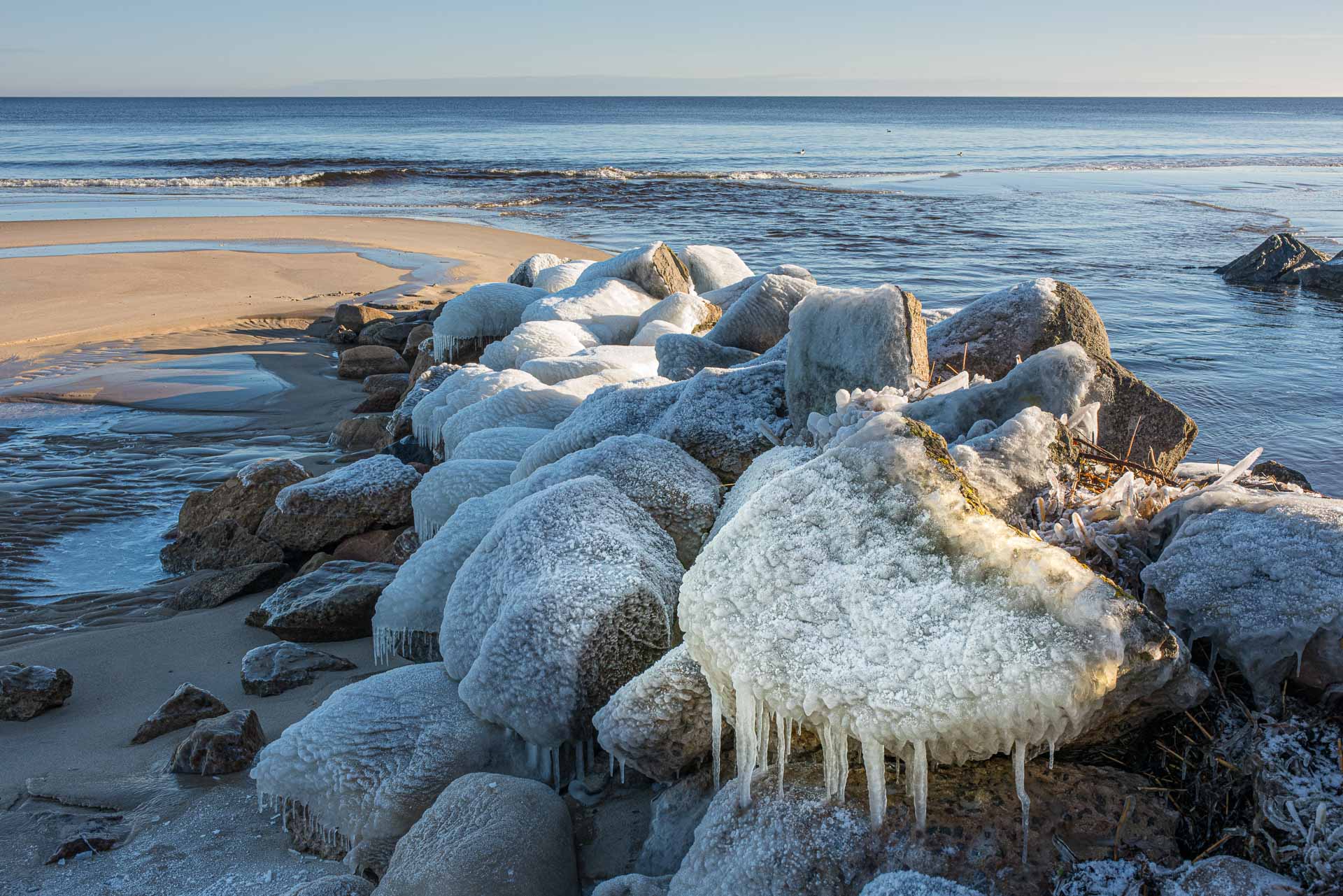
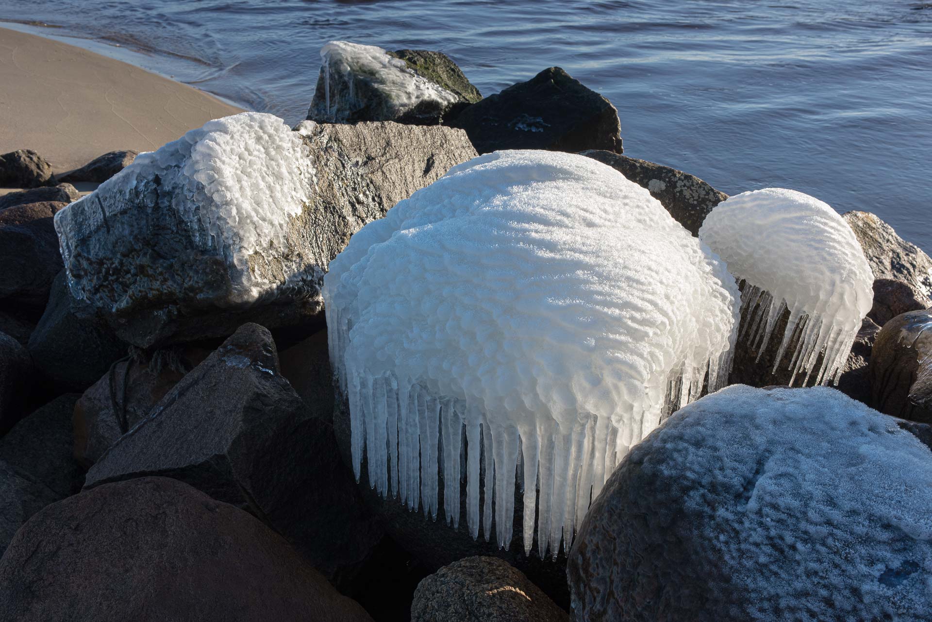
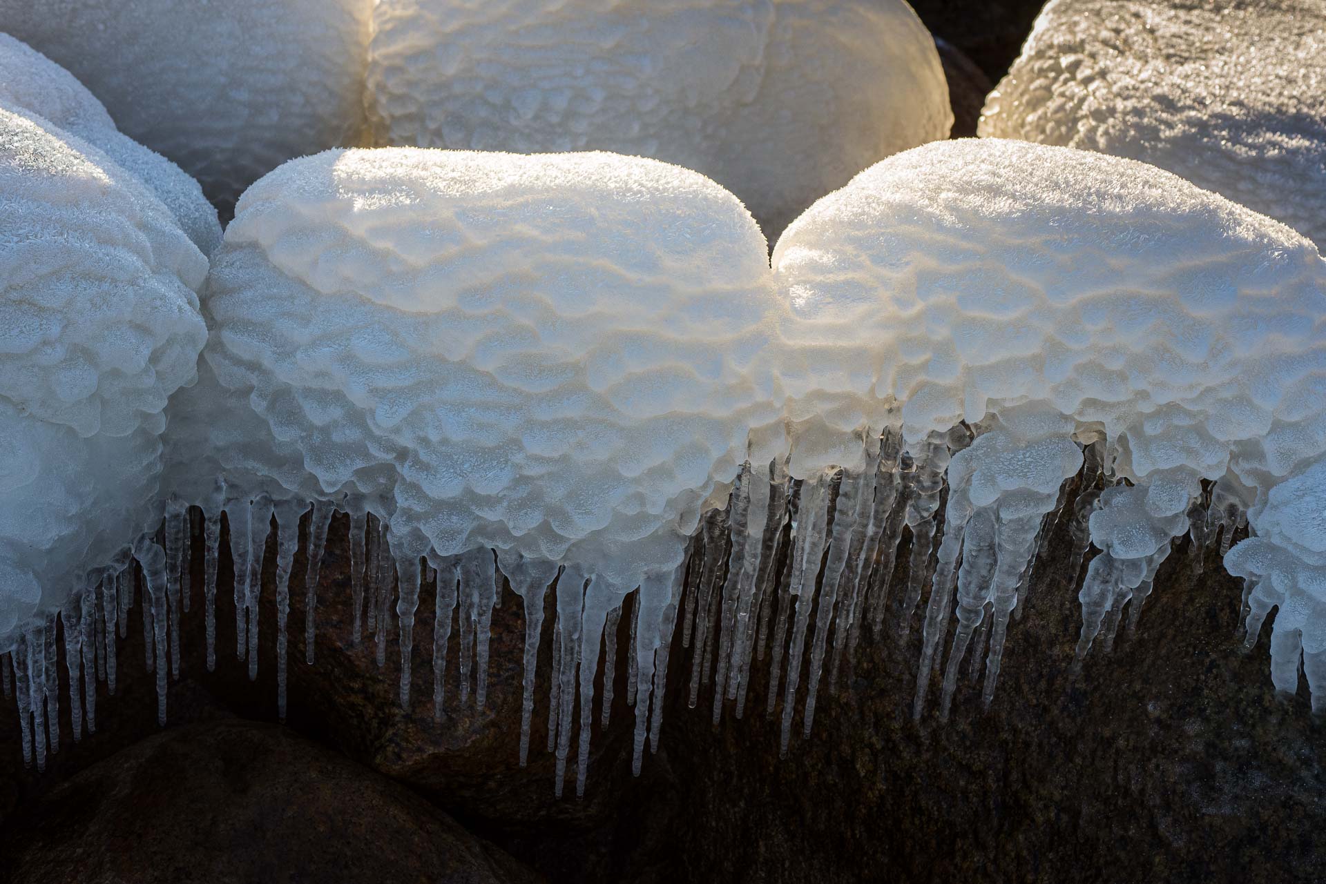
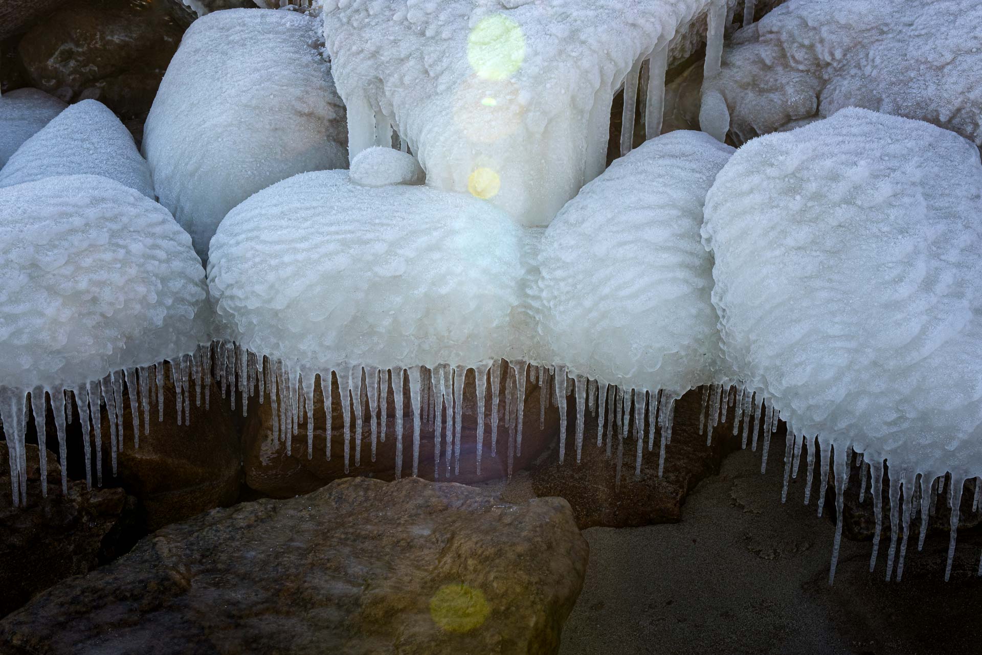
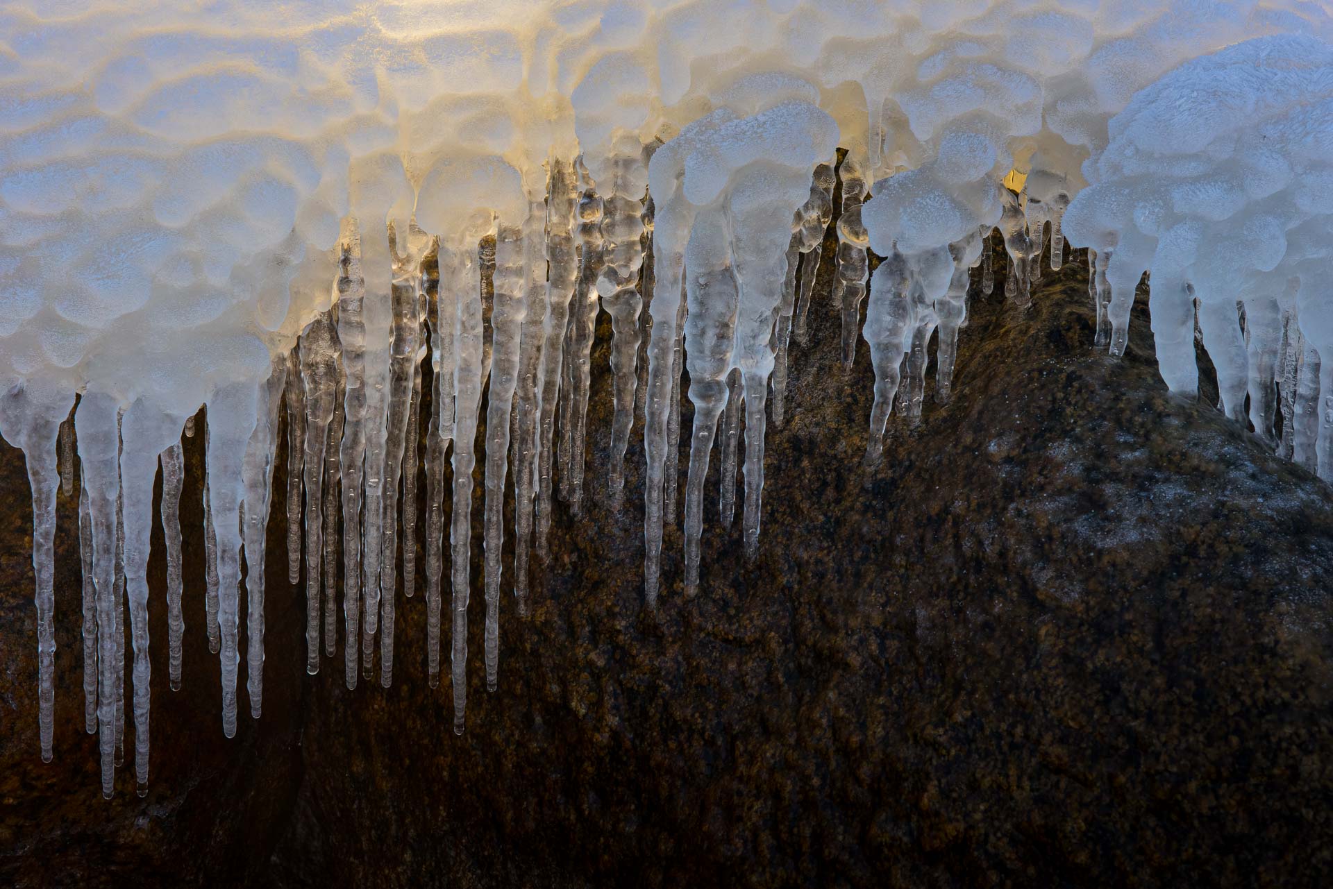
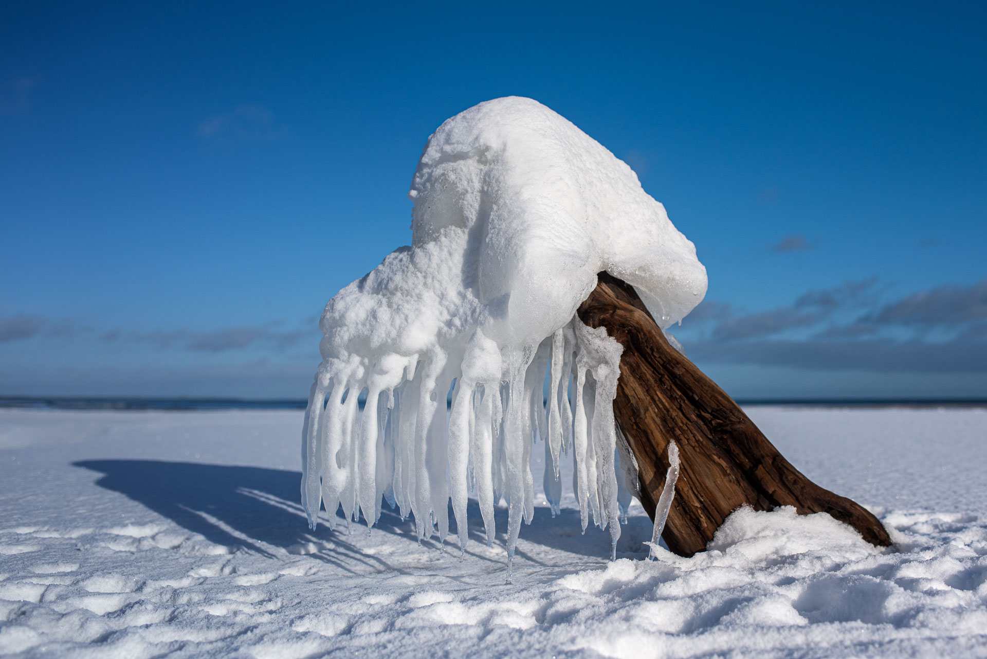
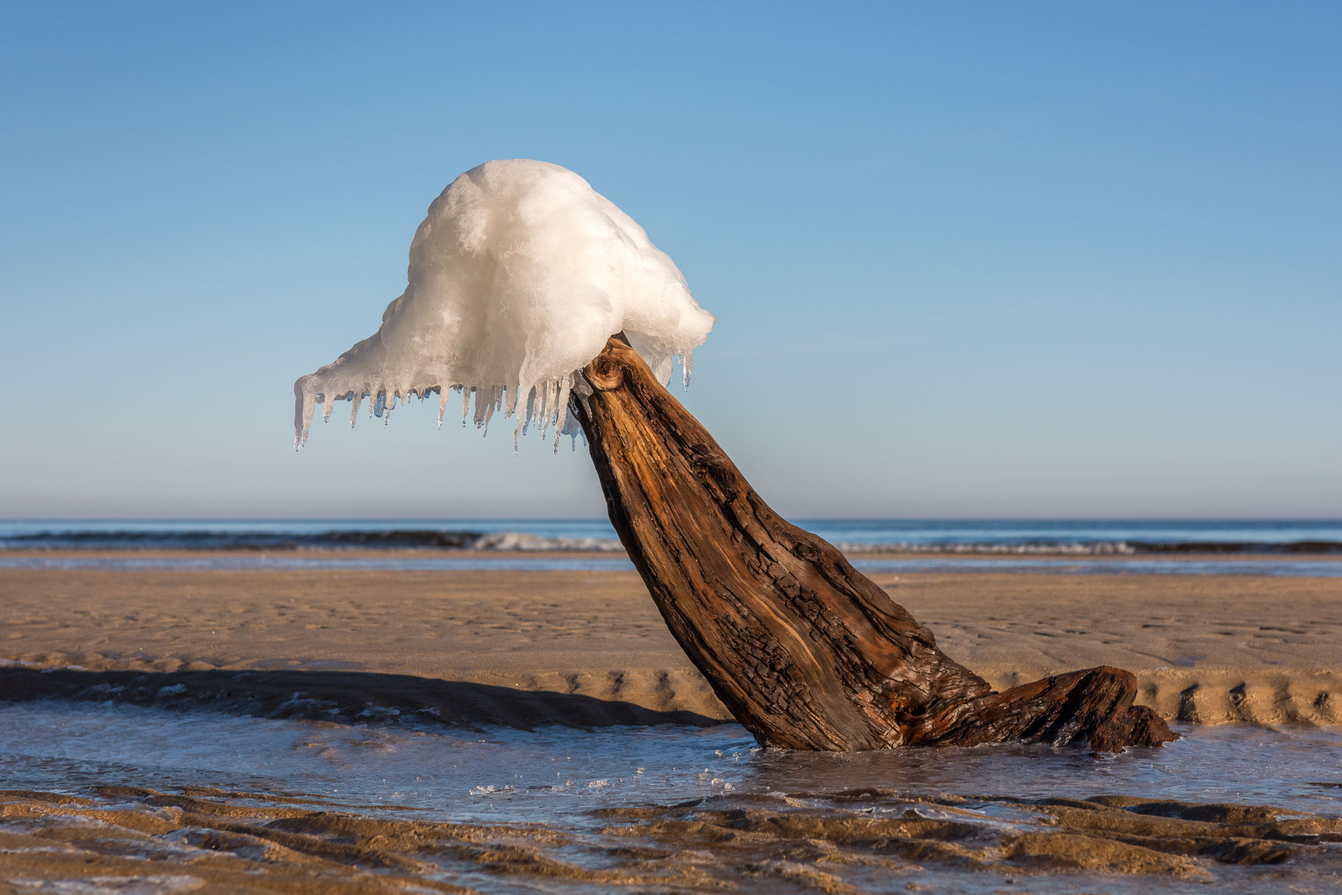
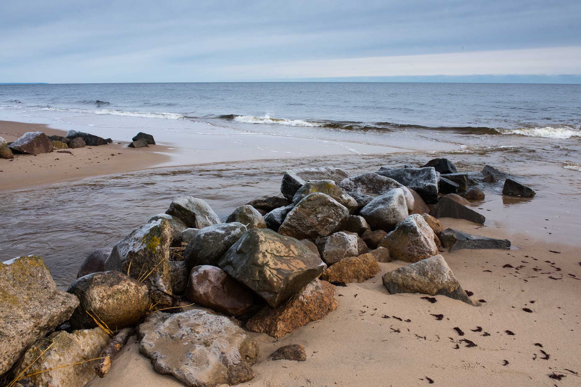
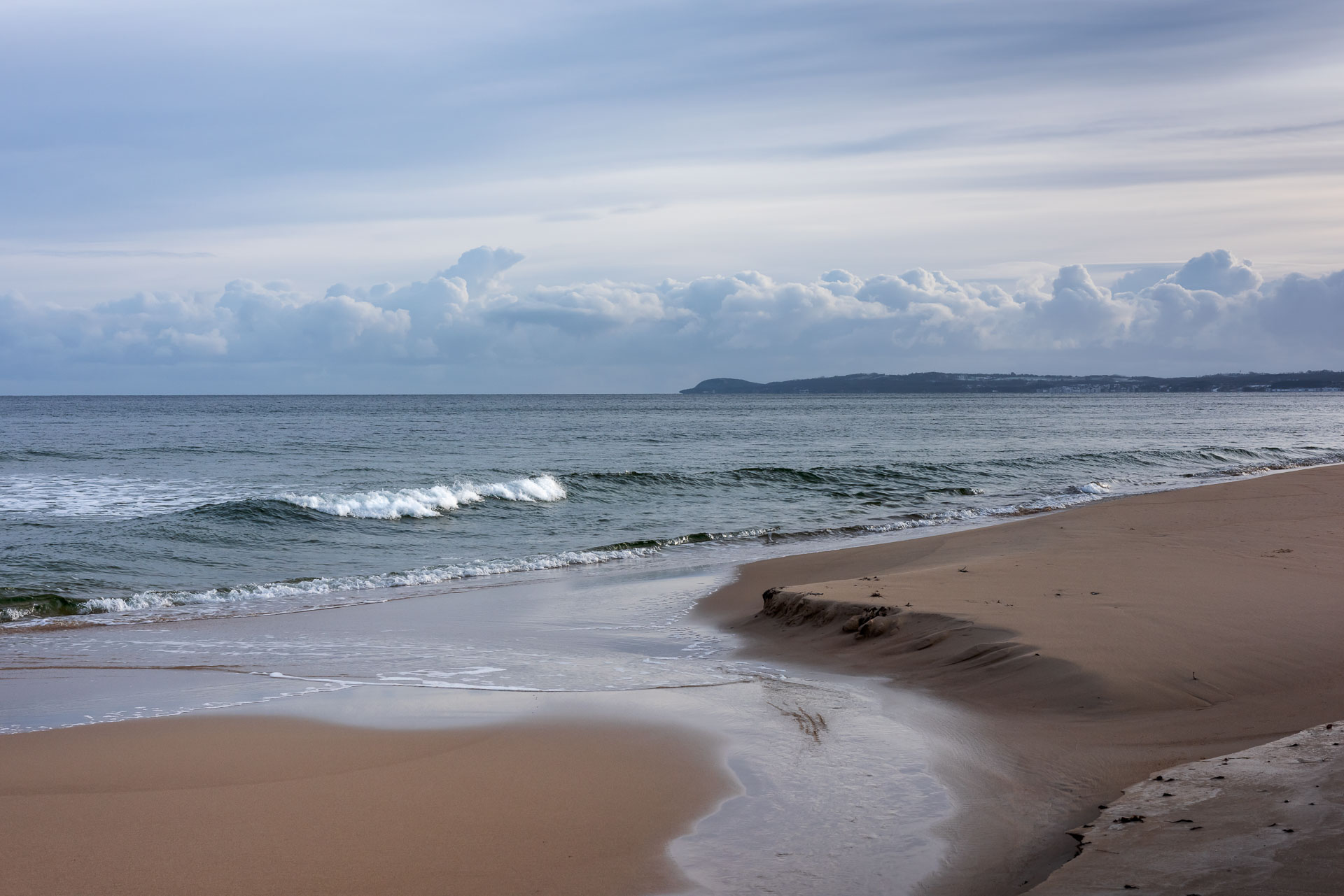
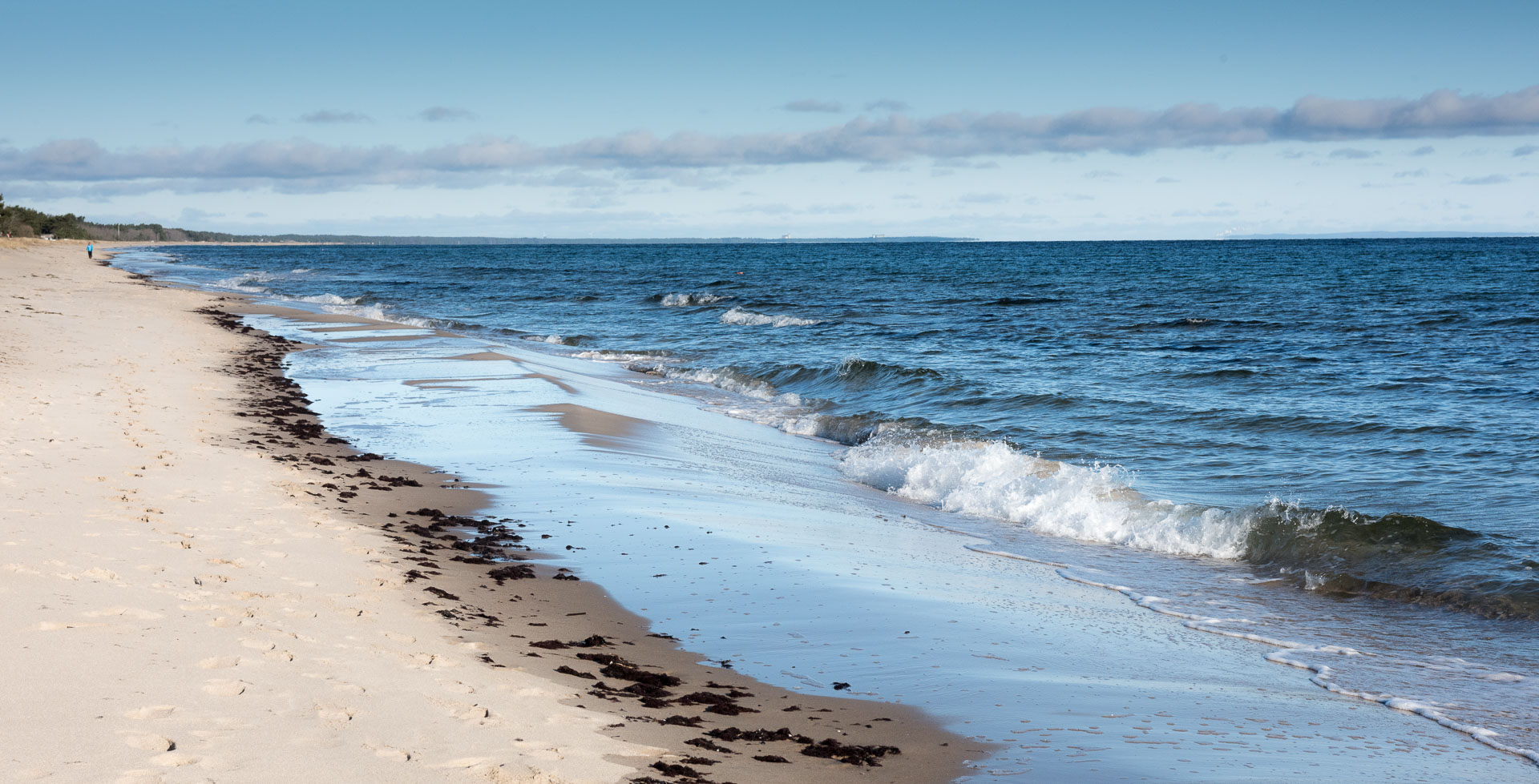
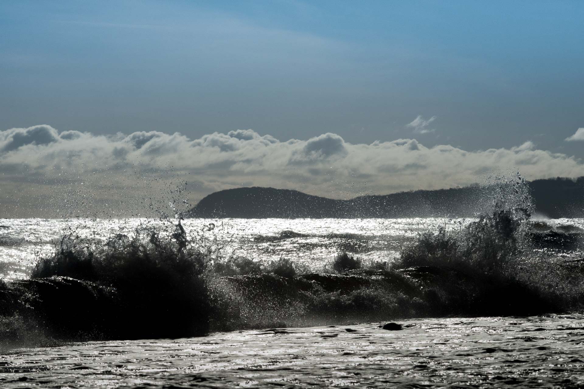
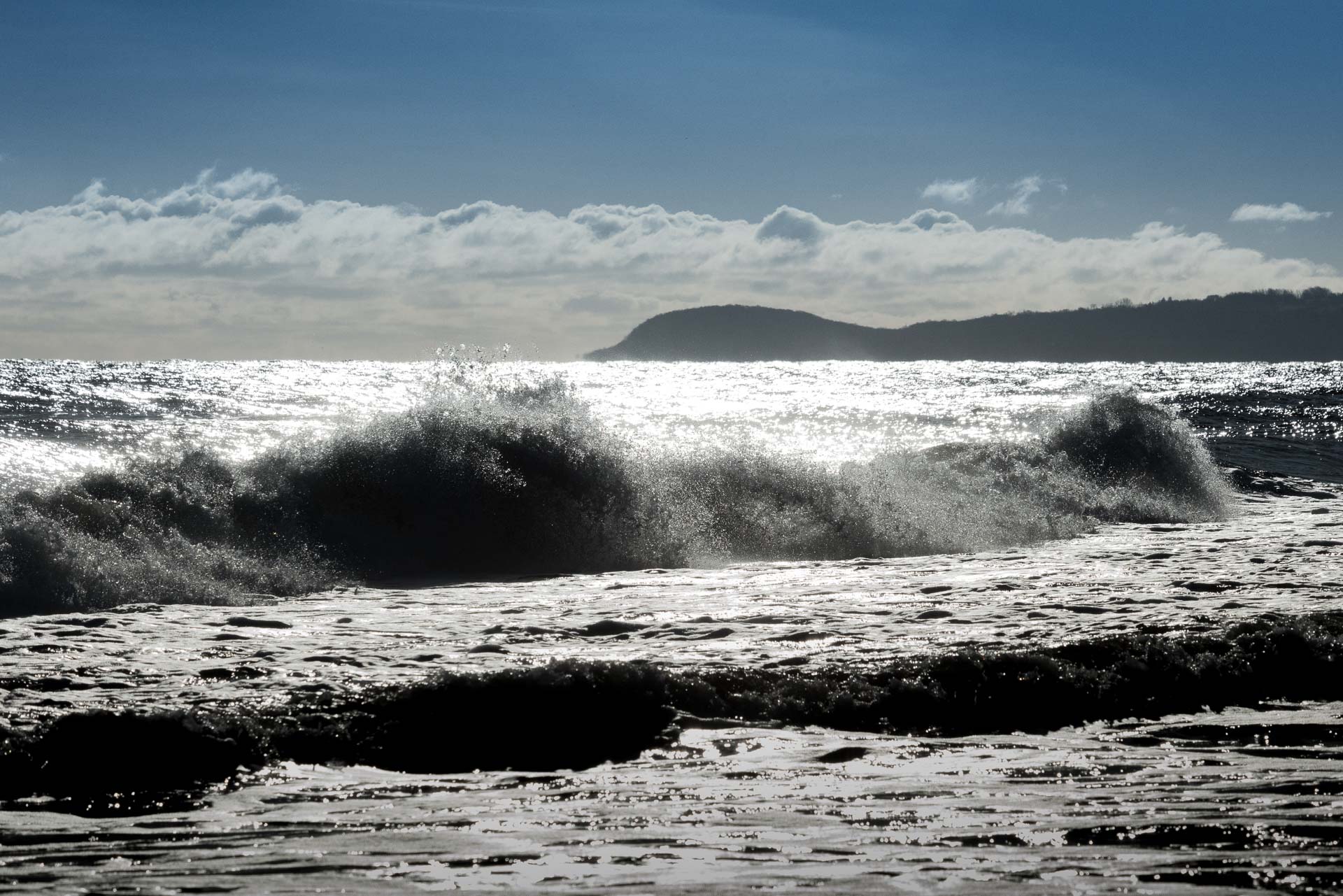
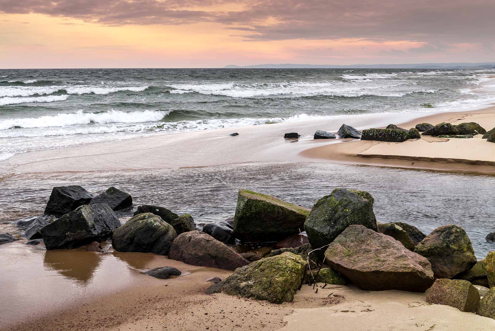
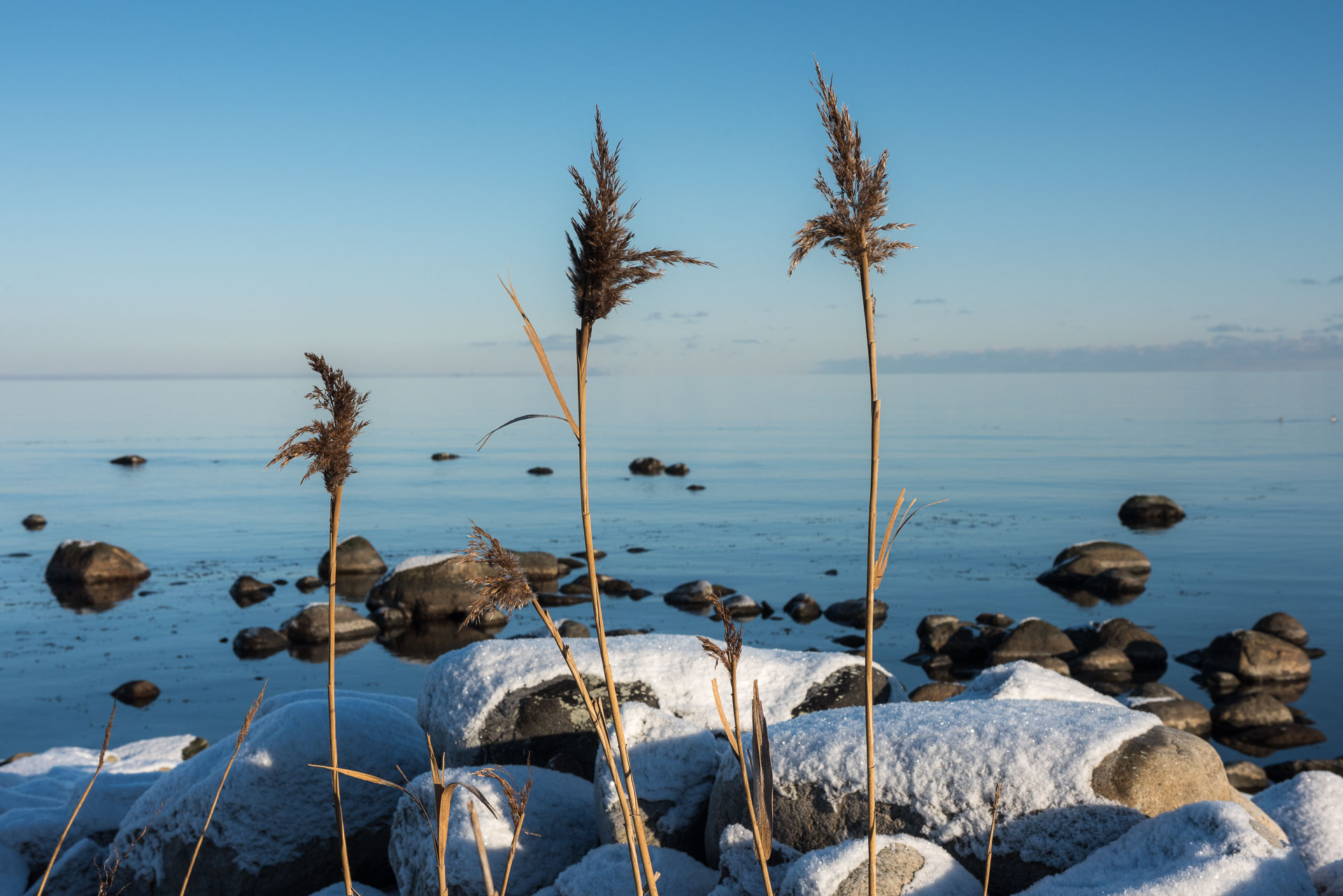
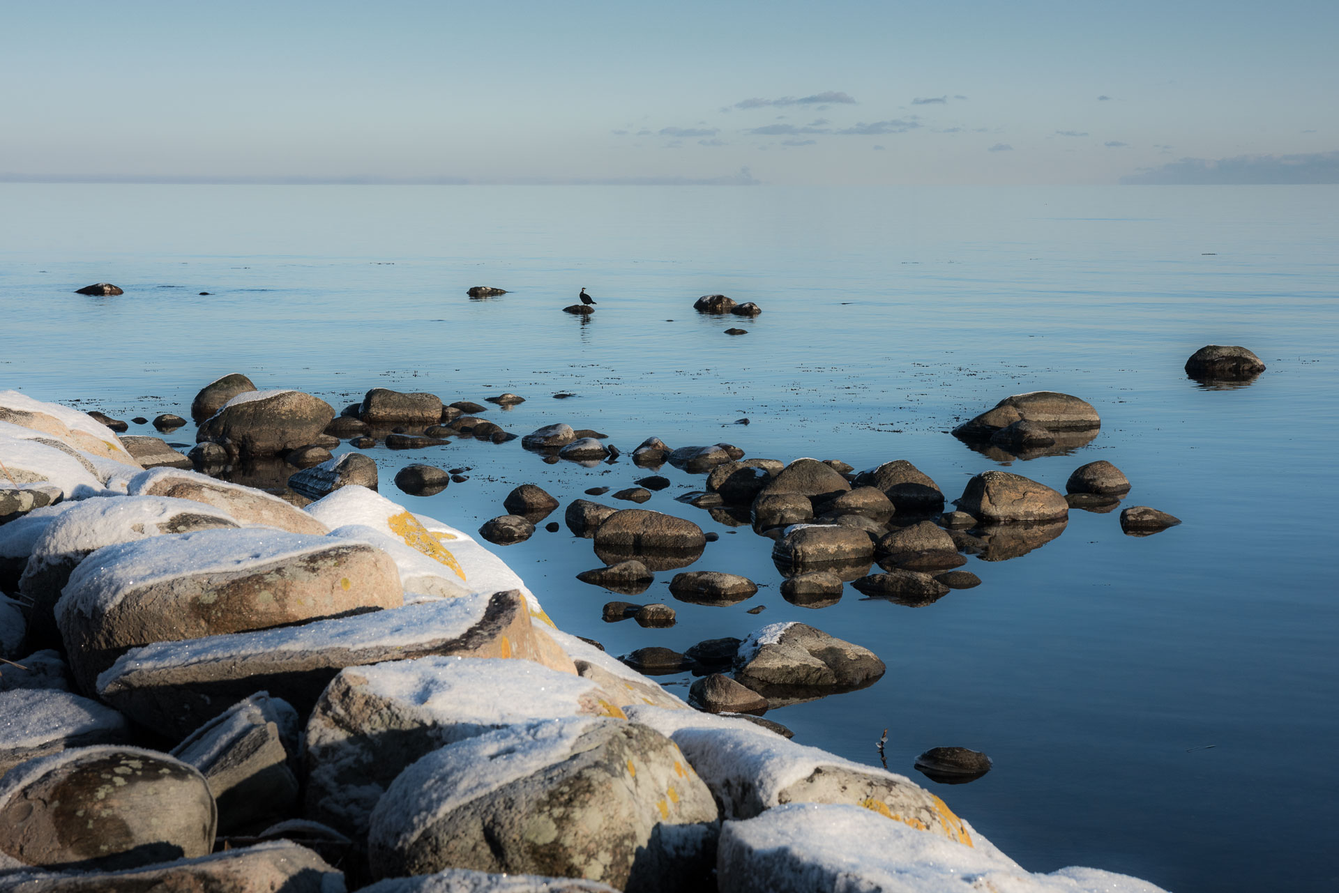
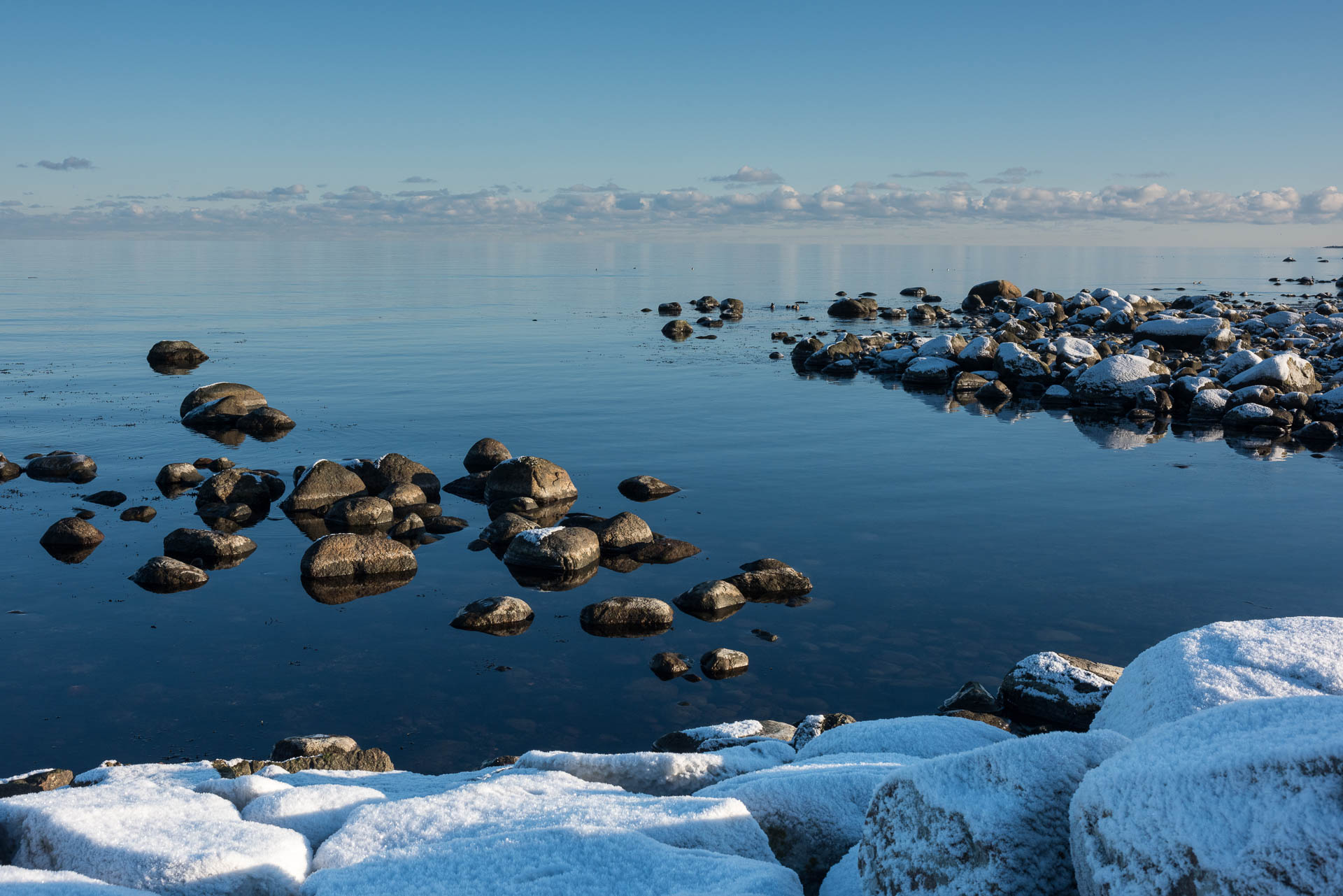
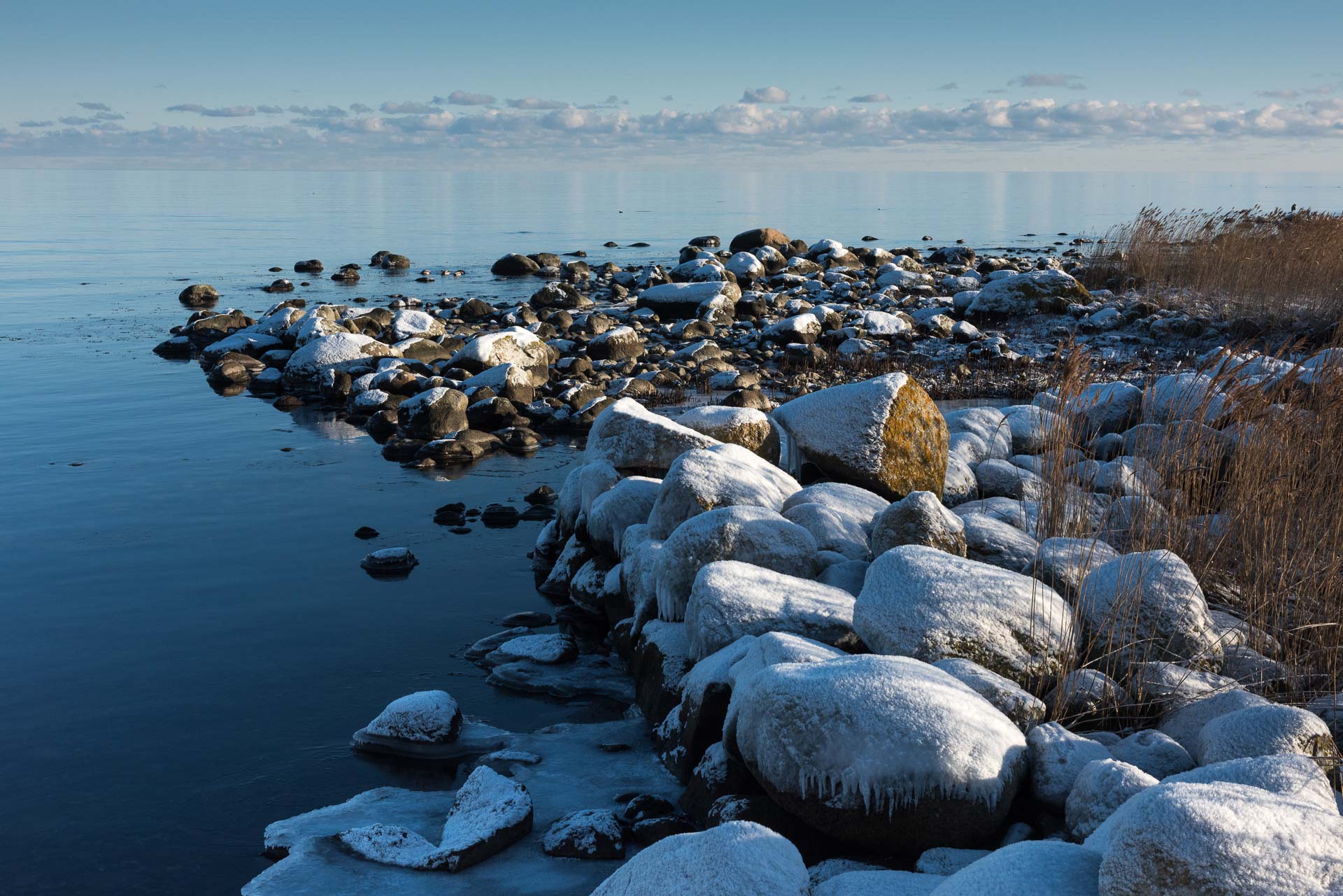
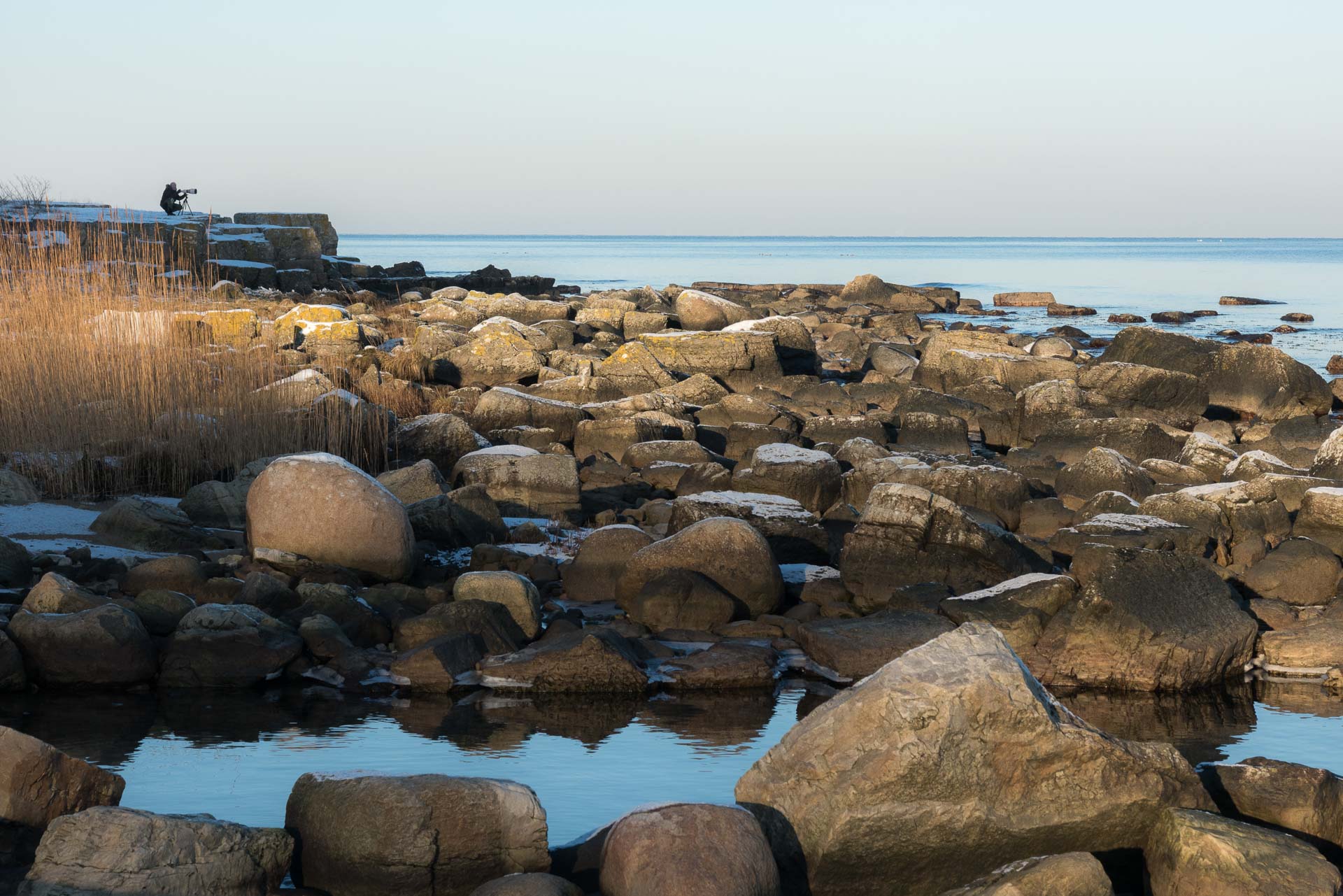
During the years the Scania cost, especially the Hanö Bay, has continued to fascinate us and resulted in many photographs. Some photographs of the area have even become the photographic vignette of our LB Galleri. Hanöbukten covers the area from Simrishamn (Scania) in south to Torhamns Udde in north (Blekinge).
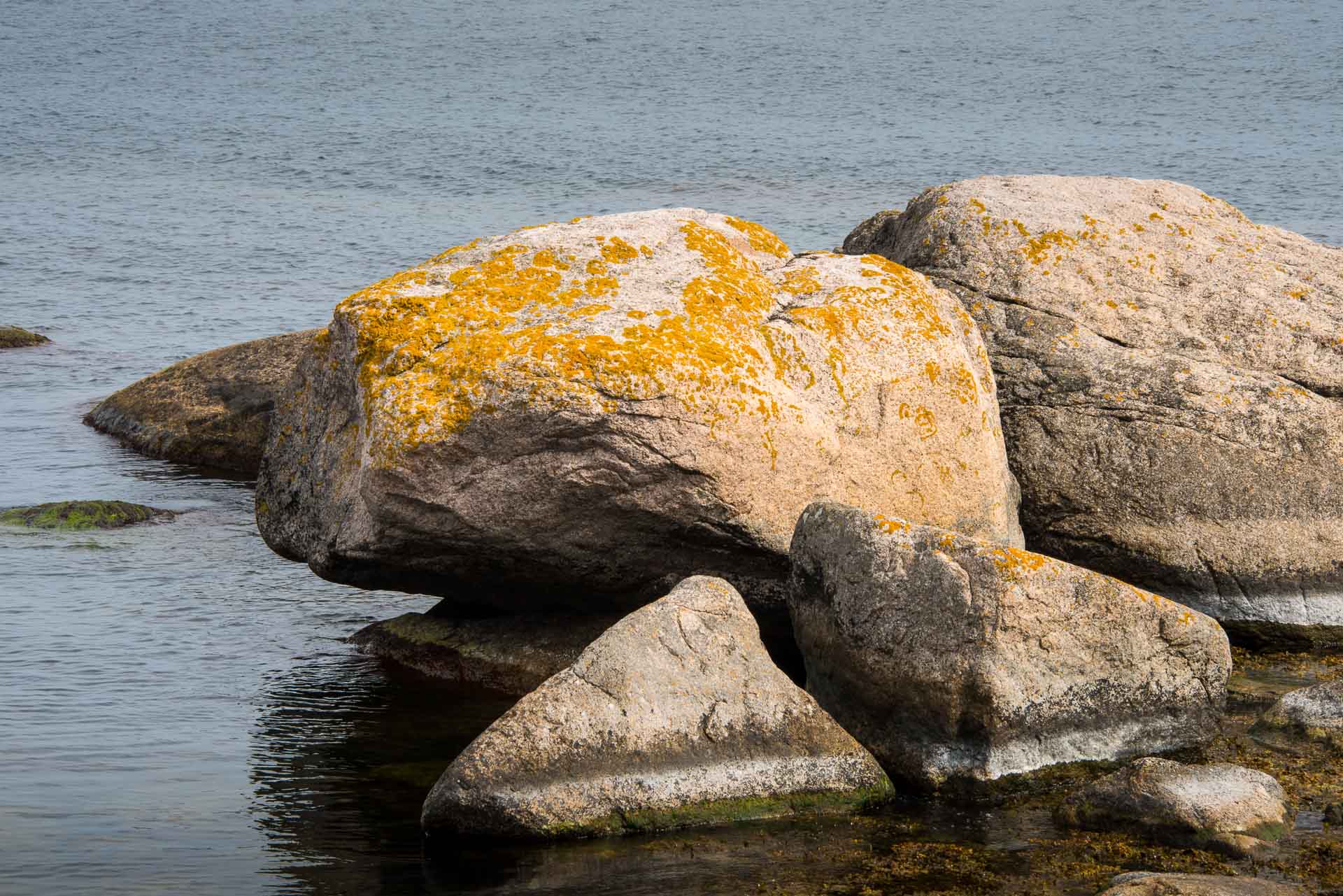
The area offers fantastic sceneries with variations of light over the landscape. Stones and rocks give the motives dramatic compositions. Constantly changing water, weather and light conditions create new experiences and endless opportunities for photographers to find new motives. We will continuously revisit this area to find new places that offers exciting motives.
This project is a collection of old and new photographs and it will have a long duration.
Hanö
Hanö is an island in Hanö Bay, nowadays a nature reserve. The name comes probably from the epithet ”eina höga ö”, found in old writings.
Hanö was ”occupied” 1810-1812 by Great Brittain during the Napoleon war when Sweden was forced to Support Denmark and France. The Swedish war declaration against Great Brittain was however only on paper. No war actions took place between the countries and the important trade exchange continued more or less as usual. The As the British fleet could not enter Swedish harbours, Hanö was used as the base for their activities in the Baltic Sea. Today, the “English cemetery” with a raised cross is commemorating this period.
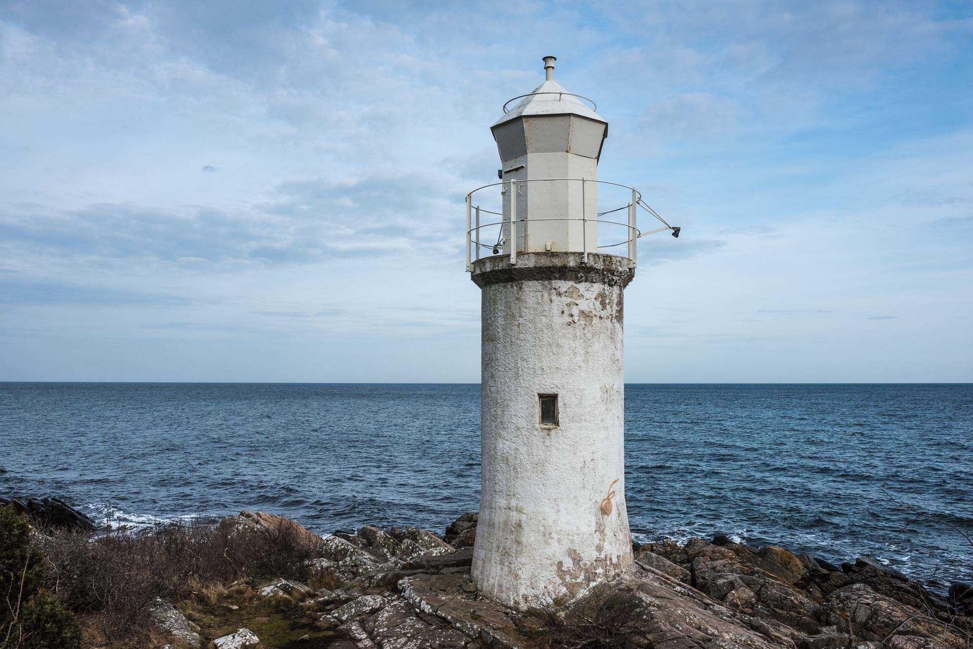
Hanö is known for its whit lighthouse from 1906 that is reaching out 40 km (25 NM) over Hanö Bay. Here has been a lighthouse lit with a kerosine lamp since 1869 when a wooden tower was built close to the lighthouse keepers house. The present lighthouse is built in concrete, equipped with a Luxlamp and a rotating third size Fresnel lens made by Barbier Bernard & Turenne. The lighthouse was electrified in 1939 and is fully automatized since 1972, but was manned until 1980. The lighting consists of two 1000 W lamps, which makes it to one of the strongest lighthouses in Sweden. The lens from 1906 is still in use.
Close to the lighthouse, the SMHI’s automatic weather station is located. Hanö is the windiest place in Sweden outside the mountain areas. In the winter storm 31st December 1978, a record of at least 35 m/s in average speed was measured when the wind gauge broke. The record of wind gusts in Sweden is outside the mountain areas is 43 m/s was measured on Hanö on 3rd December 1999.
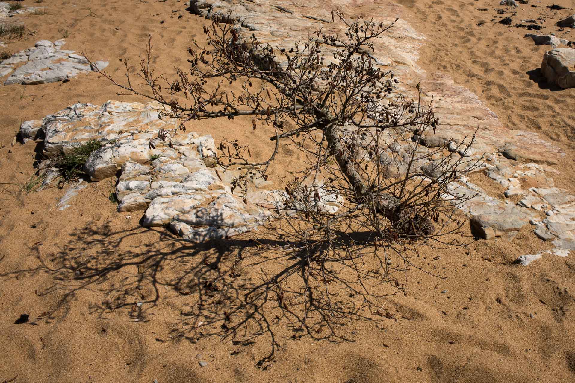
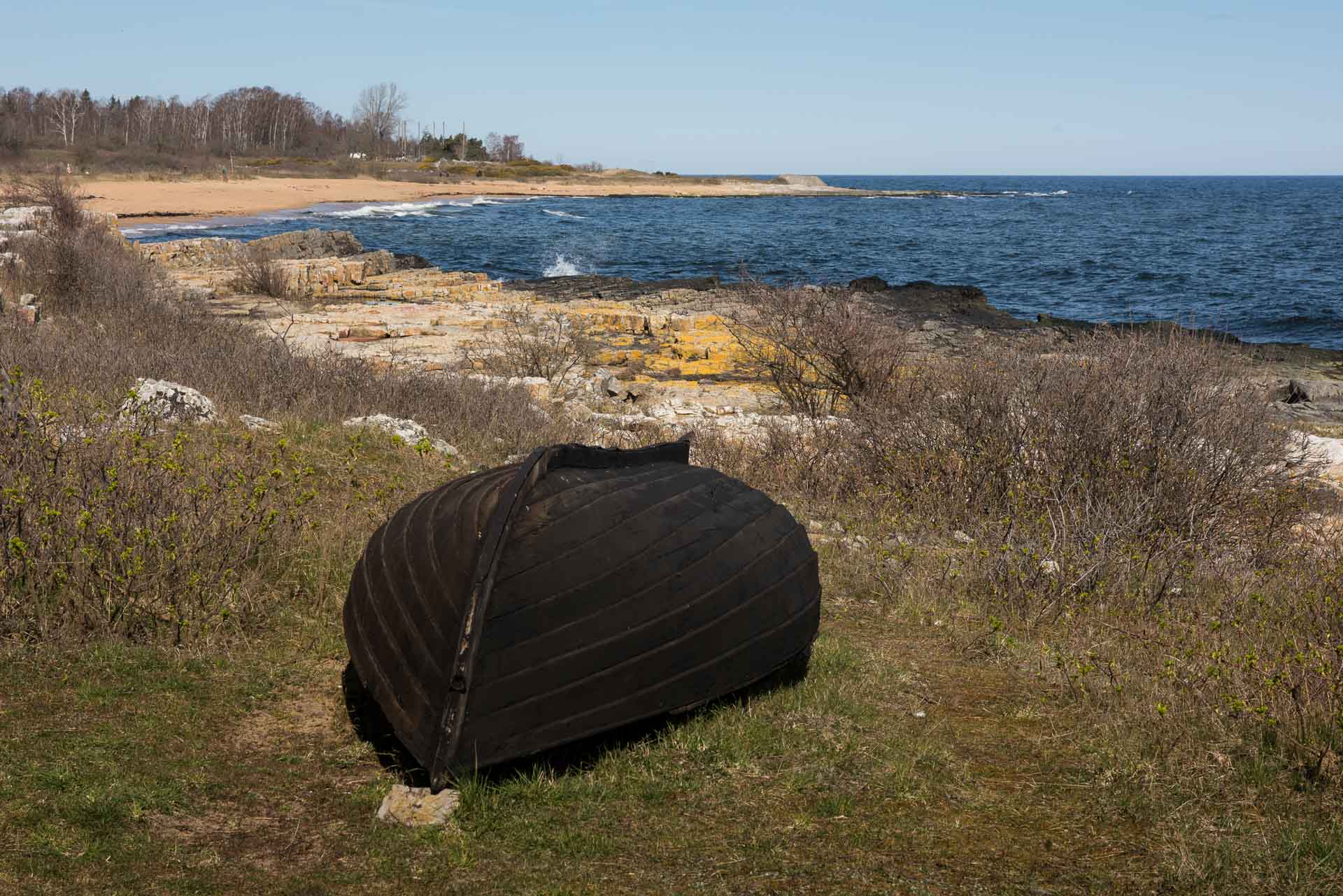
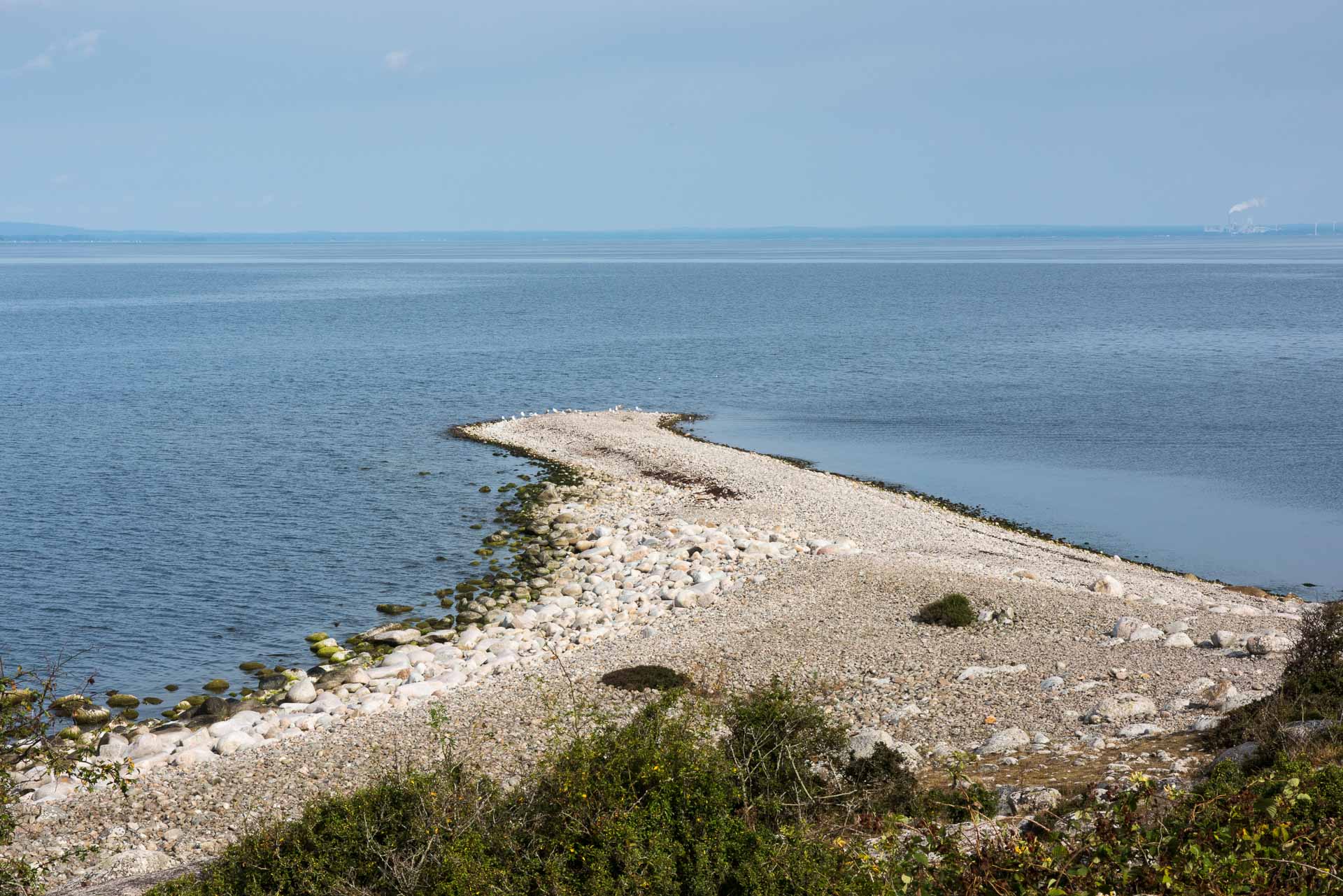
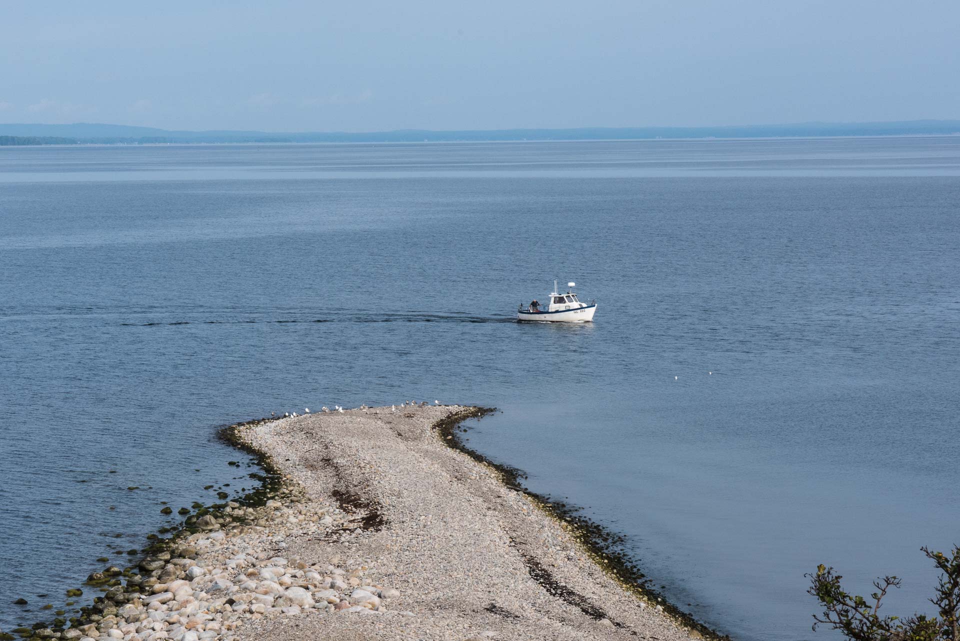
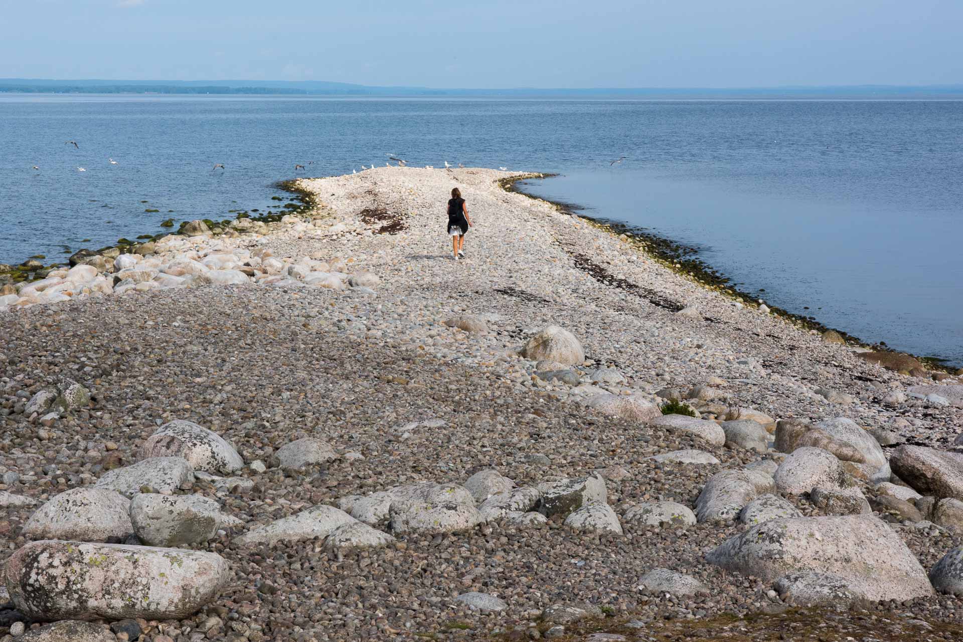
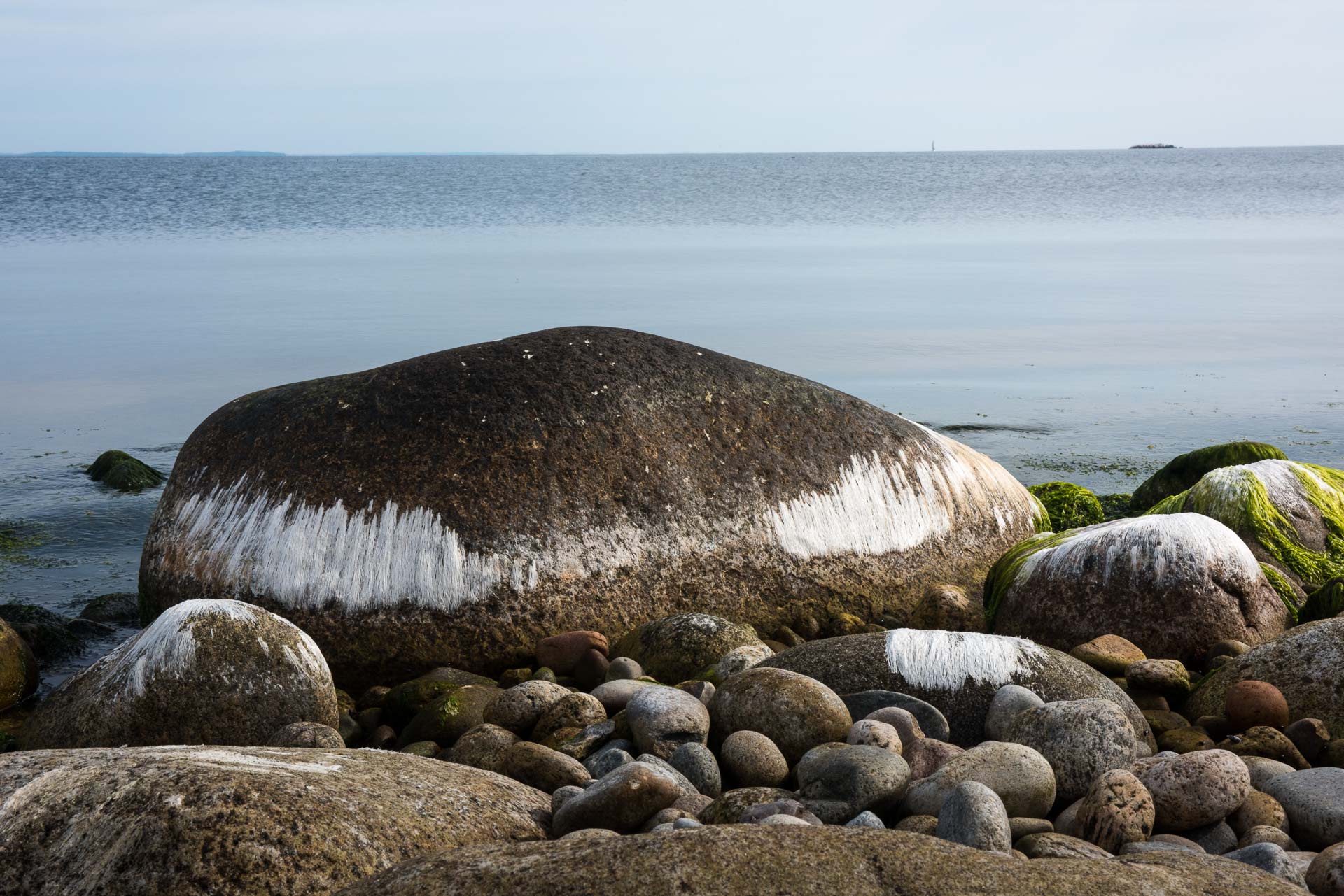
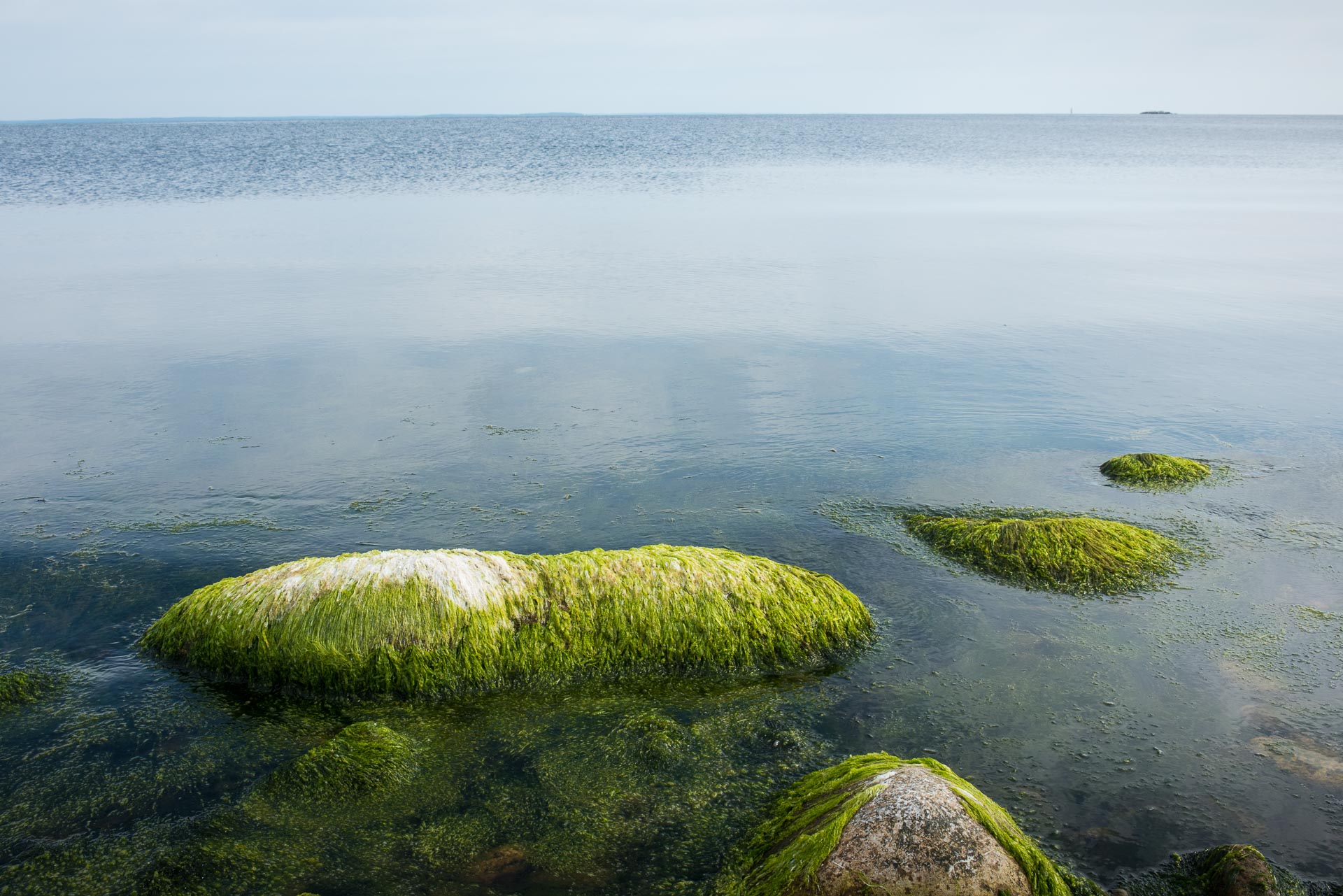
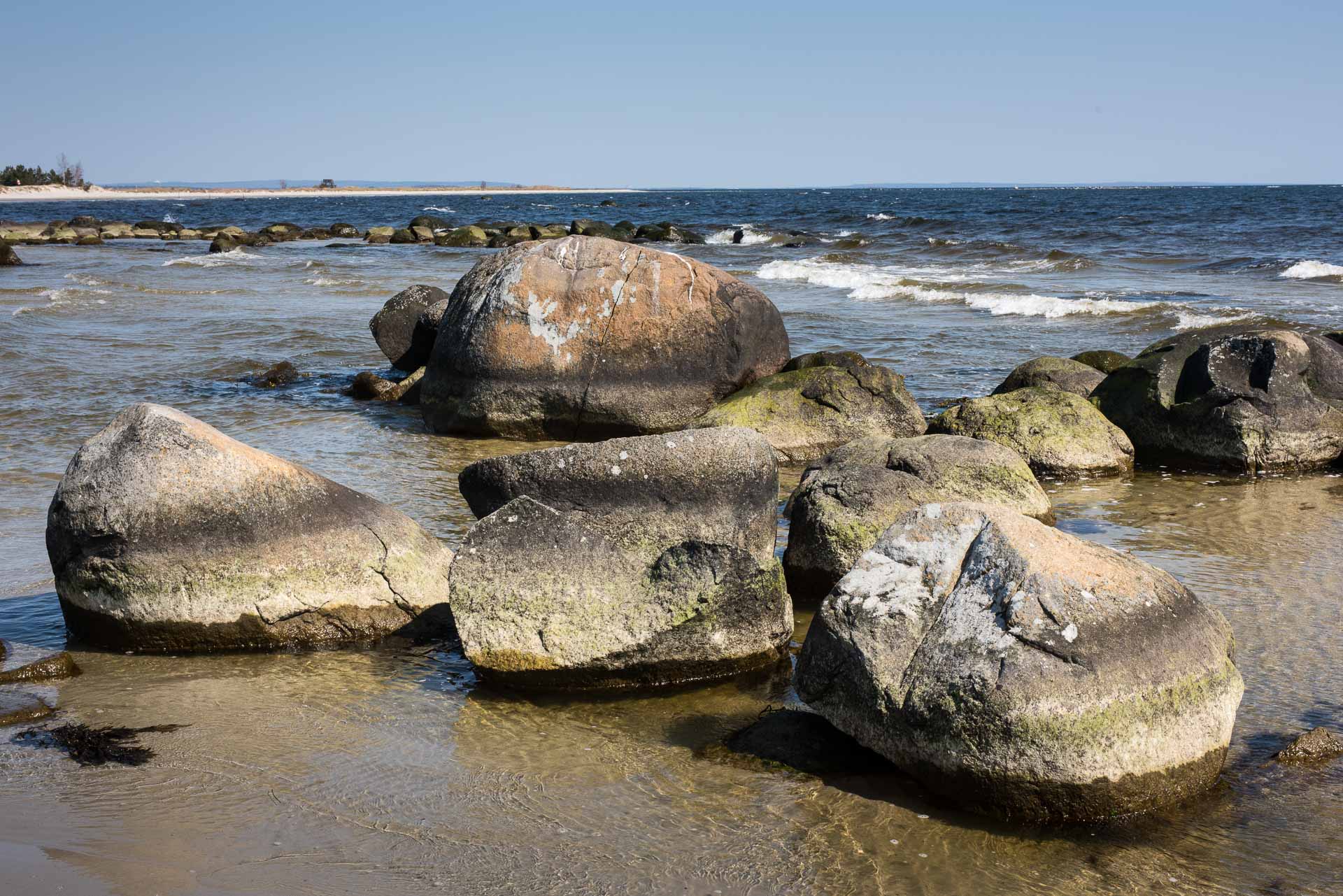
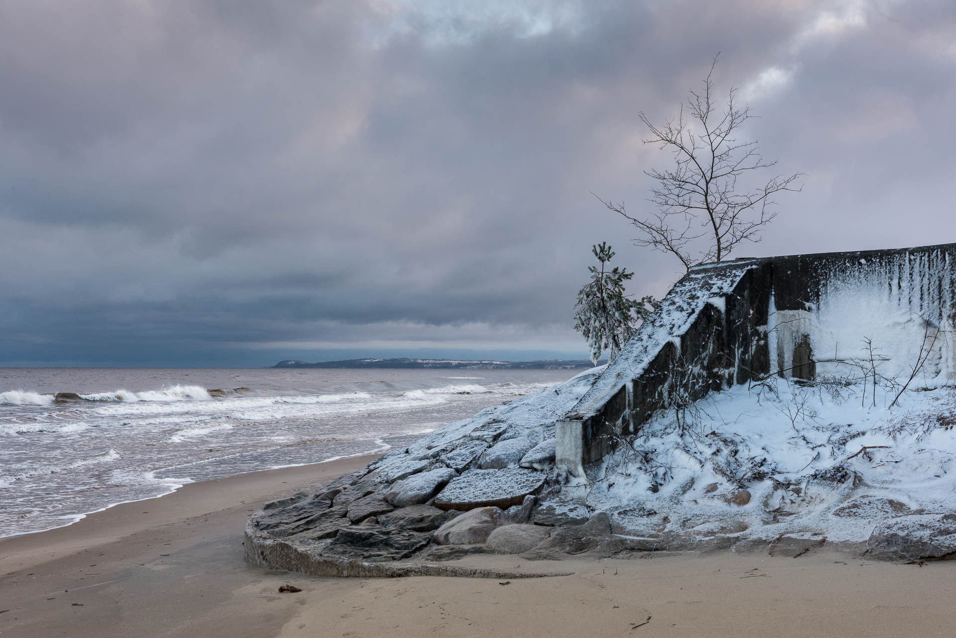
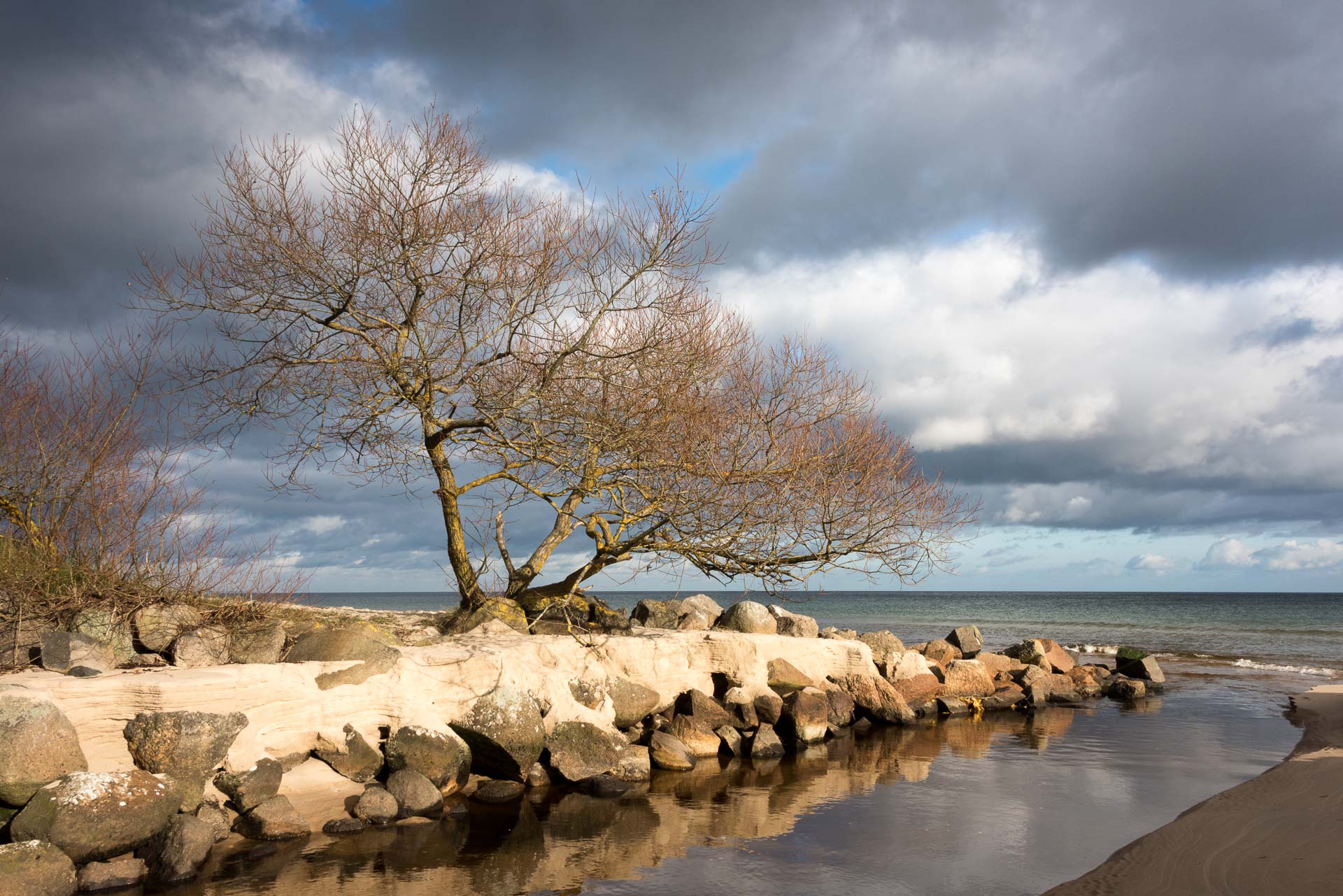
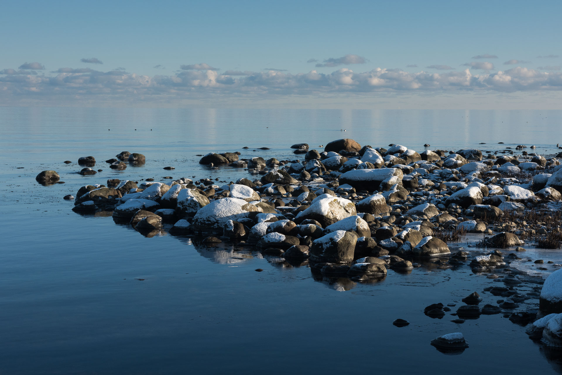
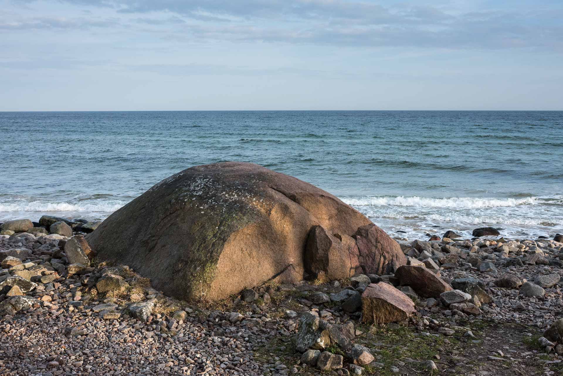
Bönsäcken is the northern tip of Han, is a beach with smooth stones. Depending on wind direction, the stones are moved around by the waves changing the form and direction of the tip.
Åhus
Åhus has since ancient times been an important trade centre where Helge River mouth out in Hanö Bay. Today it is an idyllic summer town that except tourism is well known for Absolut vodka manufactured here. The narrow alleys, picturesque small houses and historical land marks bear evidence of glories days when Åhus was centre of the region. The mouth of Helge River was by accident moved 1785 to south of the town, but still it is the nearness to water that gives Åhus its character. The coast offers exiting nature with rich wildlife.
Friseboda
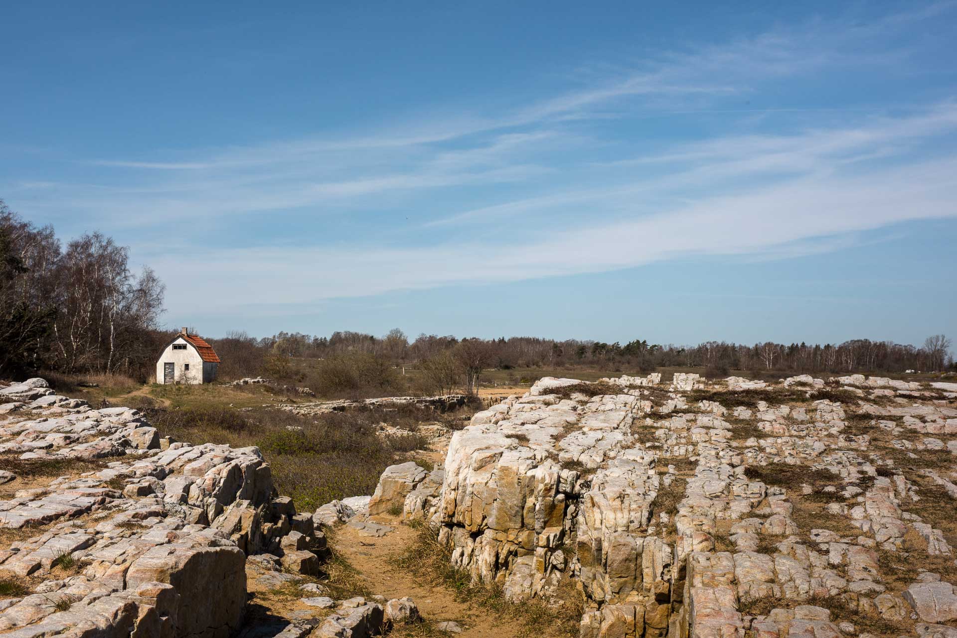
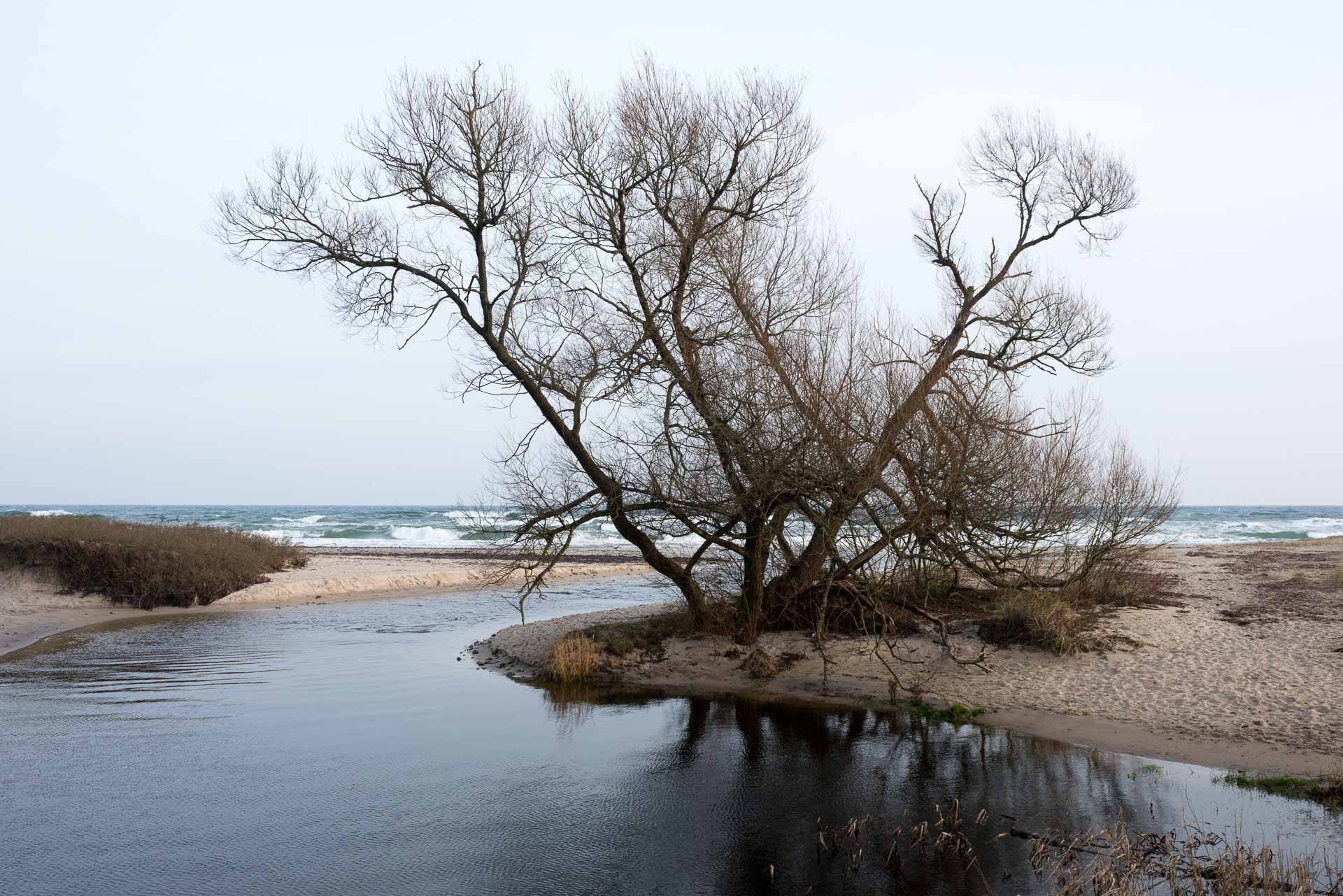
Hanö Bay cost have been populated for more than 7000 years. People have lived by the sea, fishing and cultivated the light sandy soils. Over time as the woodland was cut, for timber and firewood, problems with drifting sand occurred. Linnaeus recommended planting pine when he visited in 1749 and at the beginning of the 1800s a sparse pine woodland grew up on the sand dunes here at Friseboda. Over the years, the canopy of the woodland grew dense and many of the animals and plants associated with sandy habitats have had difficulty surviving. Within Friseboda Nature Reserve, open areas with sun-exposed sand are recreated in order to improve the conditions. Further inland, denser and wetter woodland takes over and continues to provide shelter from the wind and sand.
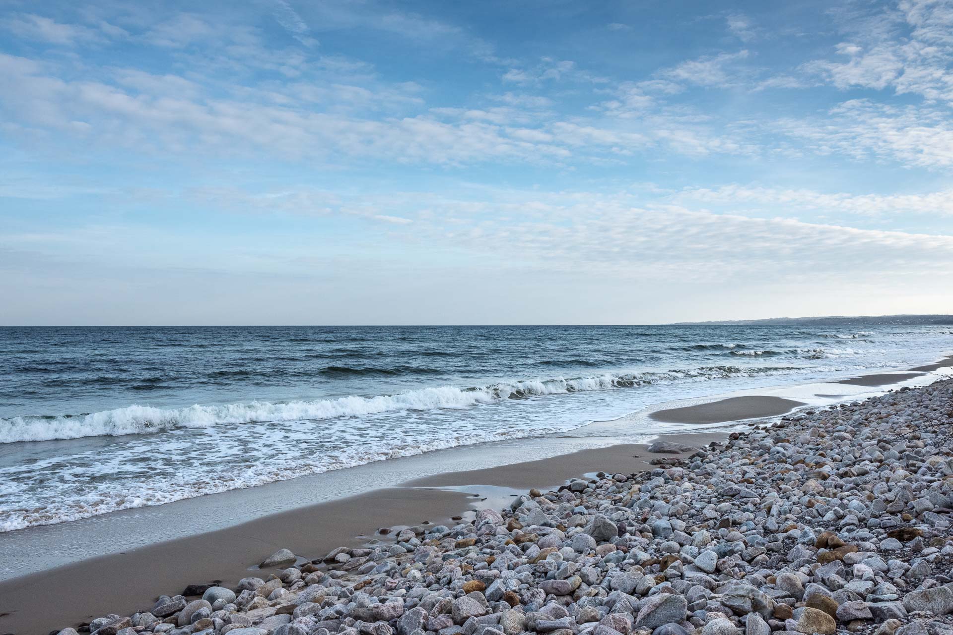
The Friseboda Nature Reserve includes 11 km of sandy beaches and a rich diverse landscape along Hanö Bay.
Haväng
Haväng is a heath-like landscape with unusual sand steppe vegetation with rich flora and fauna.
From the beach at Verke River mouth and 2 km out in Hanö Bay, are well preserved remains from a pine forest from older stone age. The remains are fallen stocks and stumps. In the same area is a thick layer of mud from the Verke River’s ancient flooded canyon. In the mud archaeologists have found fishing equipment made of hazel that are over 9000 years old, the oldest known in the world. Remains from places of residence have also been found. Most of the findings are around 10 600 years old. At the Verke Rivers mouth was a harbour that was in use until the 17th century. When the water is low, rows of poles and stoning protecting the harbour are visible.
On a hill lays Havängsdösen, a stone chamber grave from the Neolithic period built around 5 500 years ago. It was hidden in sand until a storm uncovered it in 1843.
Kivik
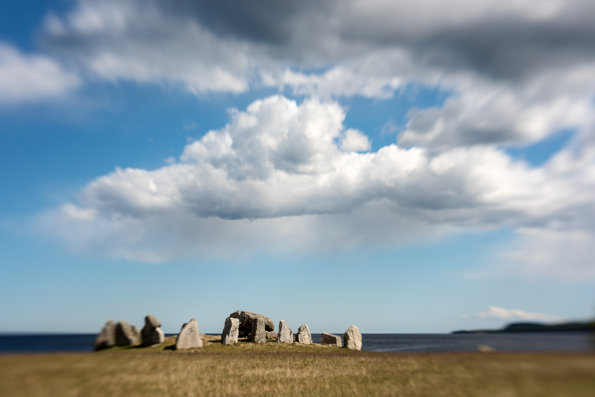
Kivik is a picturesque fishing village at Hanö Bay and a centre for apple growing. Kiviks Musteri is located south of Kivik close to the northern entrance to Stenshuvud National Park. In between is Kiviksgraven or Kungagraven (Kings Grave) as it is also called; a grave from the bronze age in middle of a cairn. The stones forming the stone coffin are decorated with engraved pictures.
You can buy traditional fried herring in ”sillaluckan” (the herring hatch) and enjoy it in the harbour. Here is the statue of the well-known author and master of tall tales, Nilsson Piraten who lived in Kivik many years.
South of Kivik is Kivik Art Centre, an open-air exhibition place that mixes nature, architecture and sculpture. Interesting environment that offers many motives.
Stenshuvud
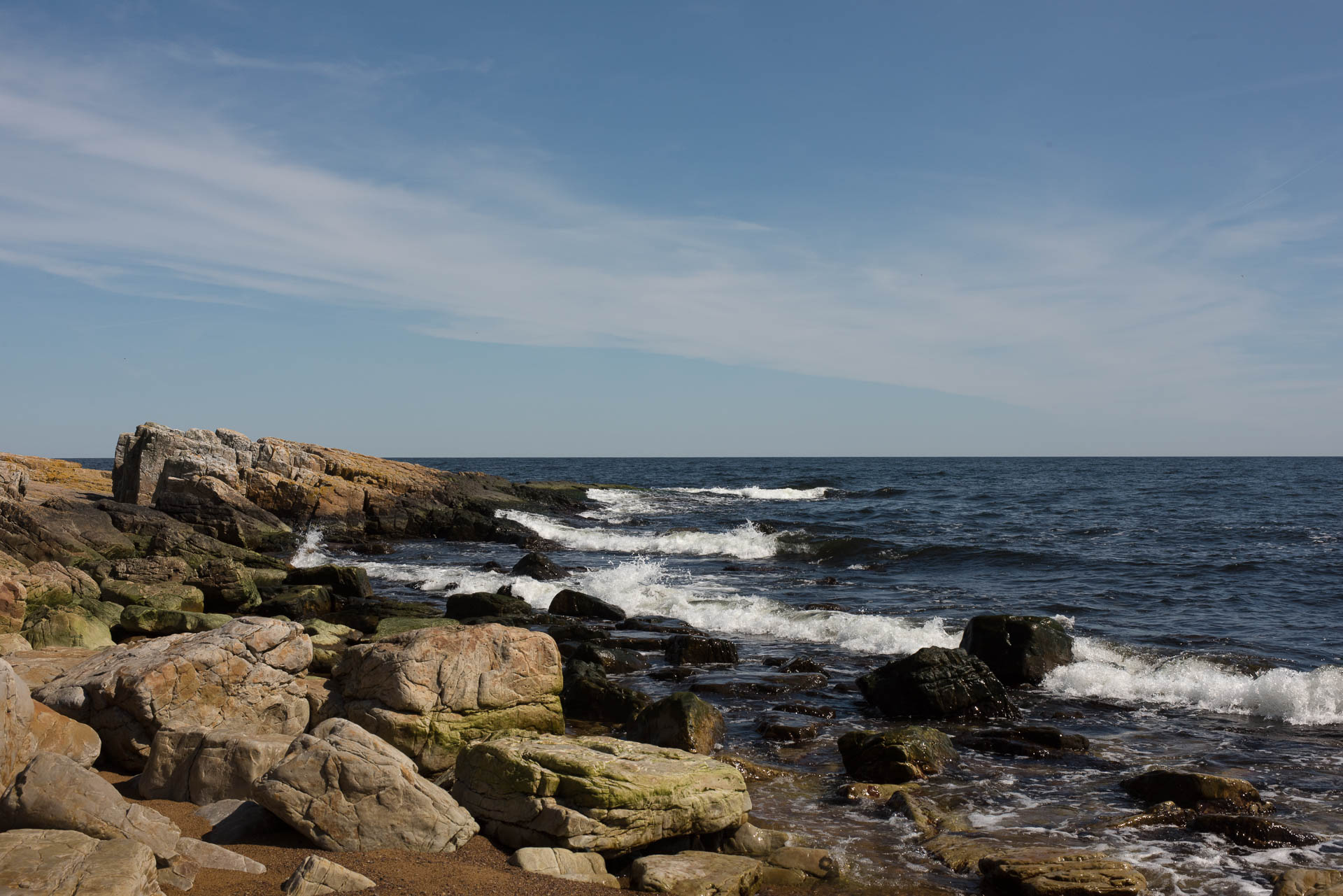
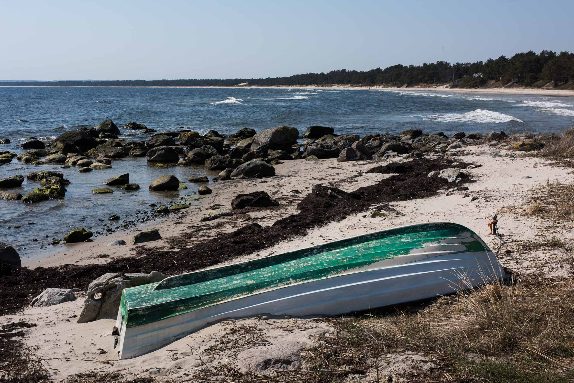
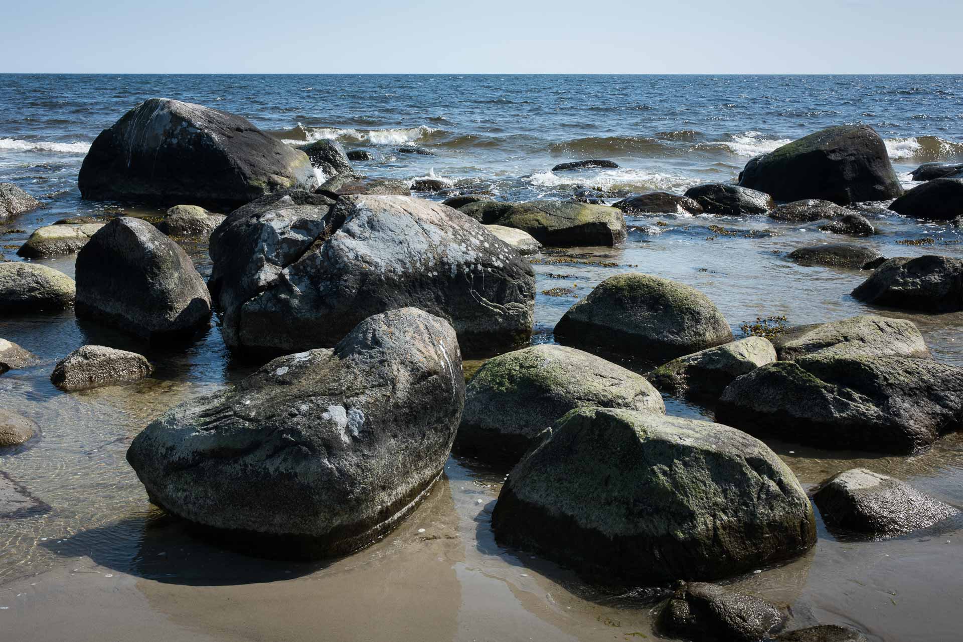
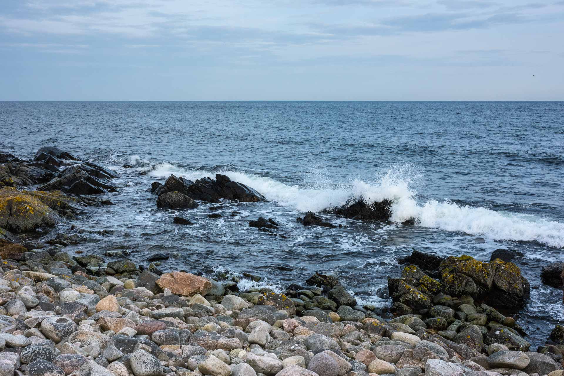
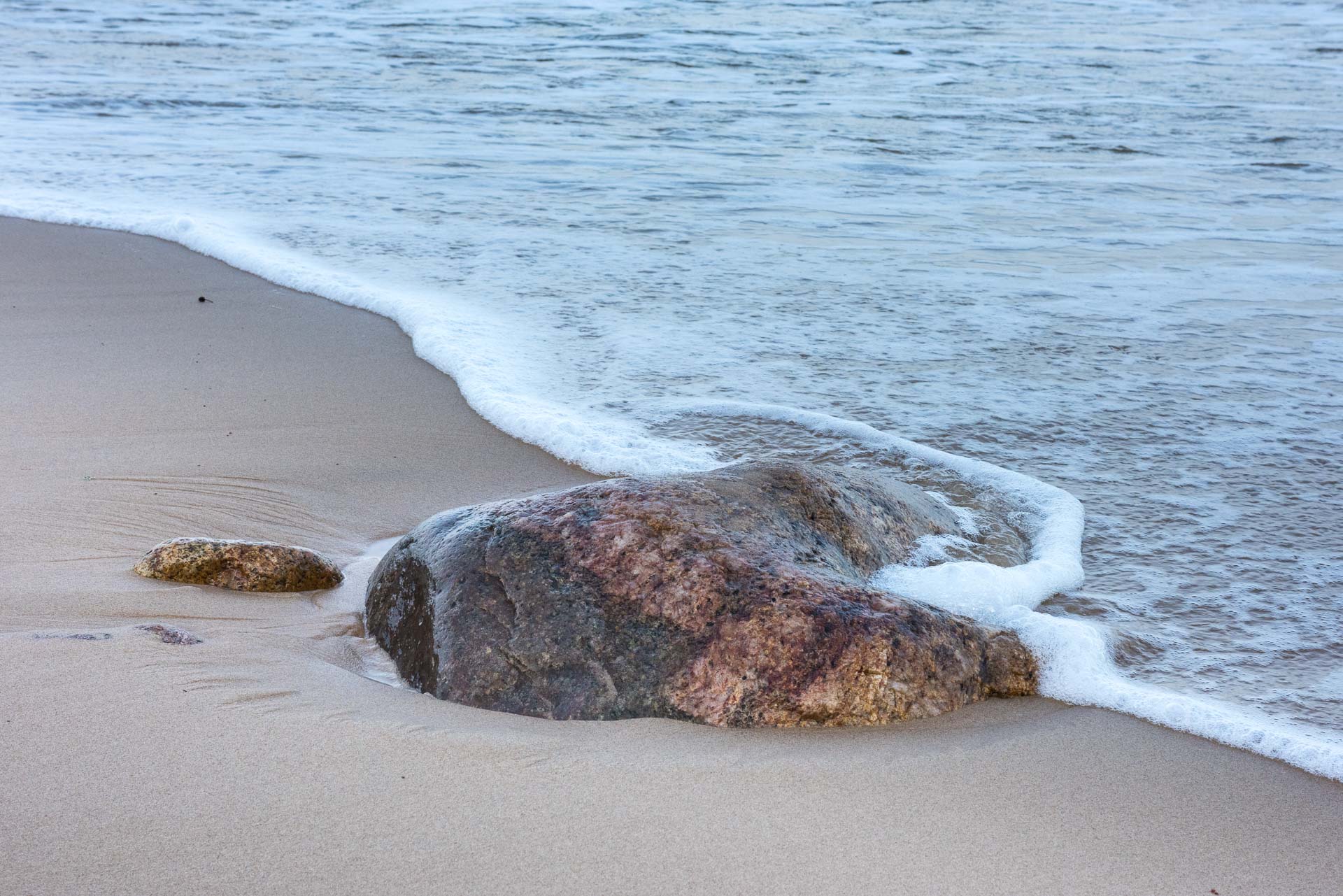
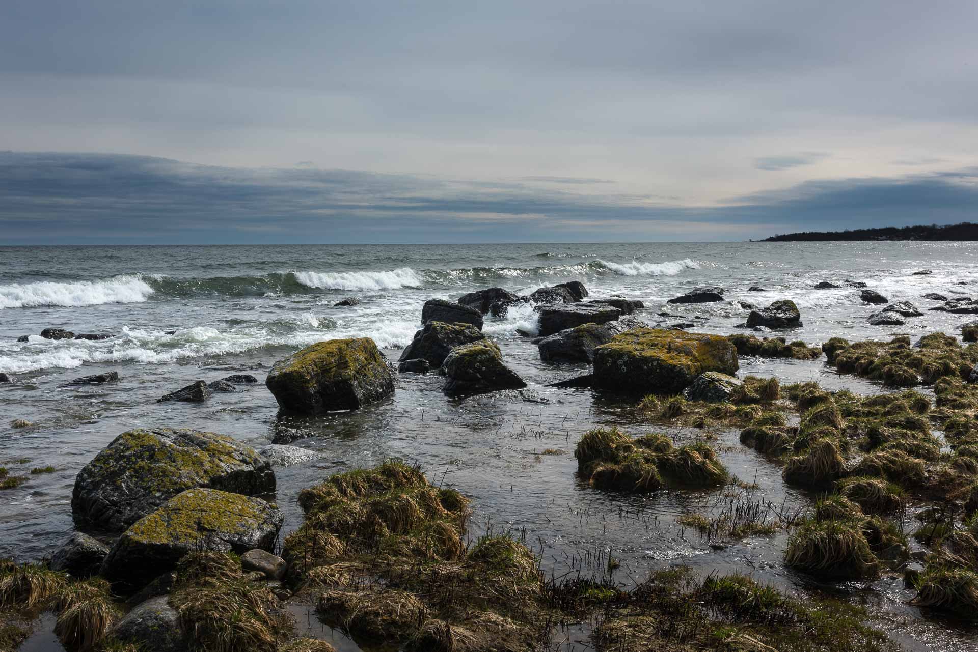
Stenshuvud has always been an important landmark for the seafarers. As a continuation of Linderrödsåsen into the Baltic Sea it divides the east cost of Scania. In north are the long beaches with fine-grained sand, the sometimes high coast banks, sand dunes and hilly landscape. Further north the landscape becomes flat with wide beach meadows edged with stones. South of Stenshuvud, the coast is stony with visible rocks and beaches with small pebbles.
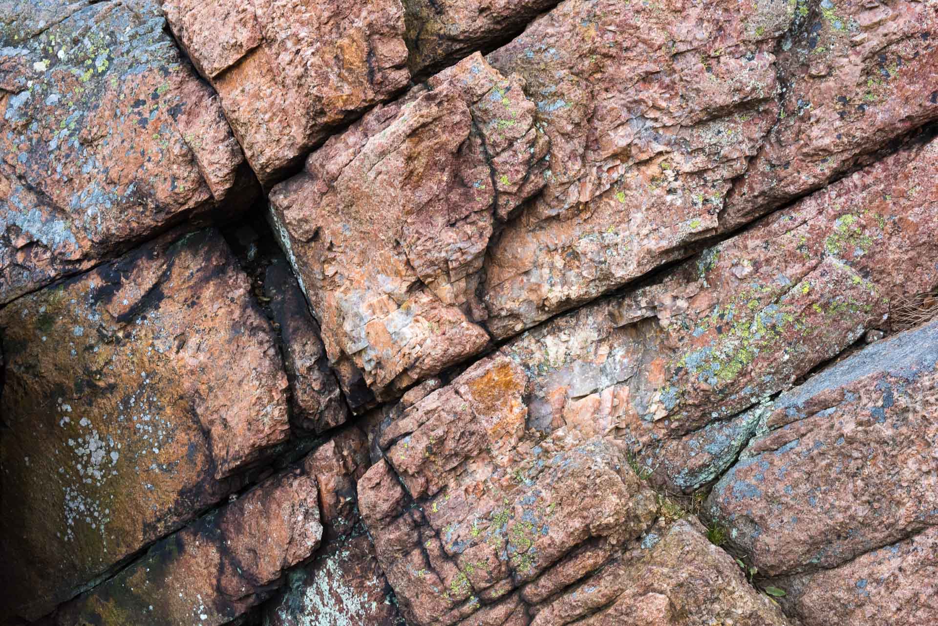
According to the legend, Stenshuvud got its name from the giant “Sten” (also called “Stenhogubben”) who lived in Stenhogubben’s cave on the north side. Several folk tales are about the giant’s atrocity in the neighbourhood. The rock is cracked up fine grained granite created 1450 million years ago. On the north side are wide fields of pebbles.

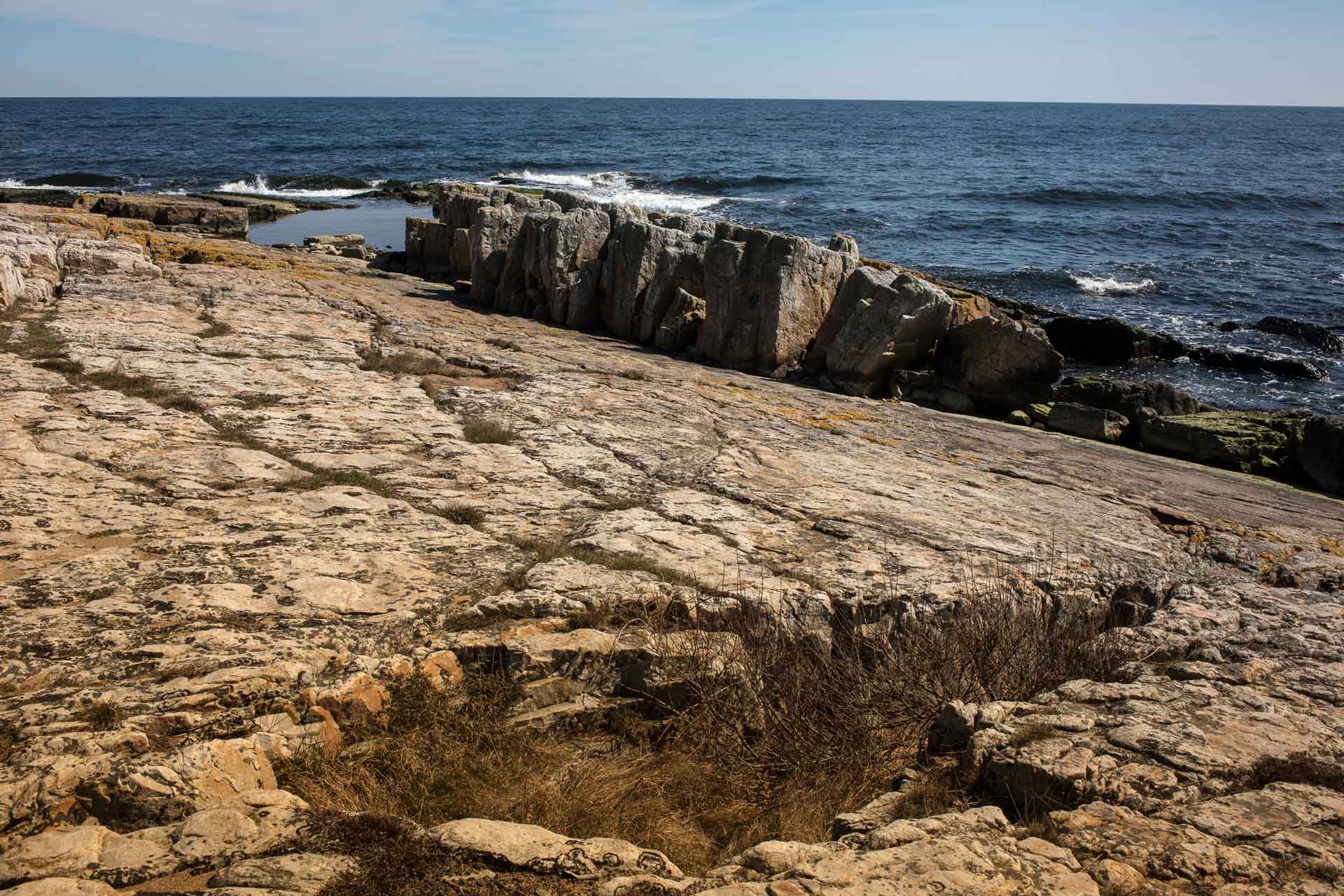
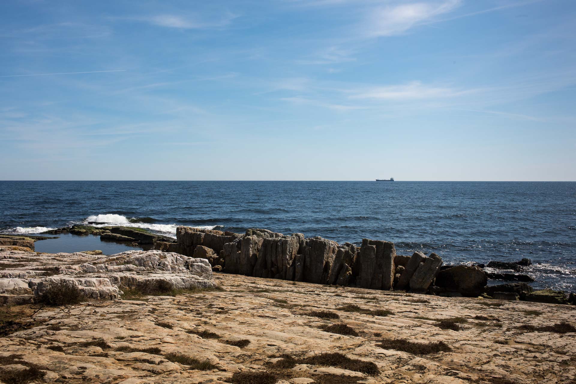
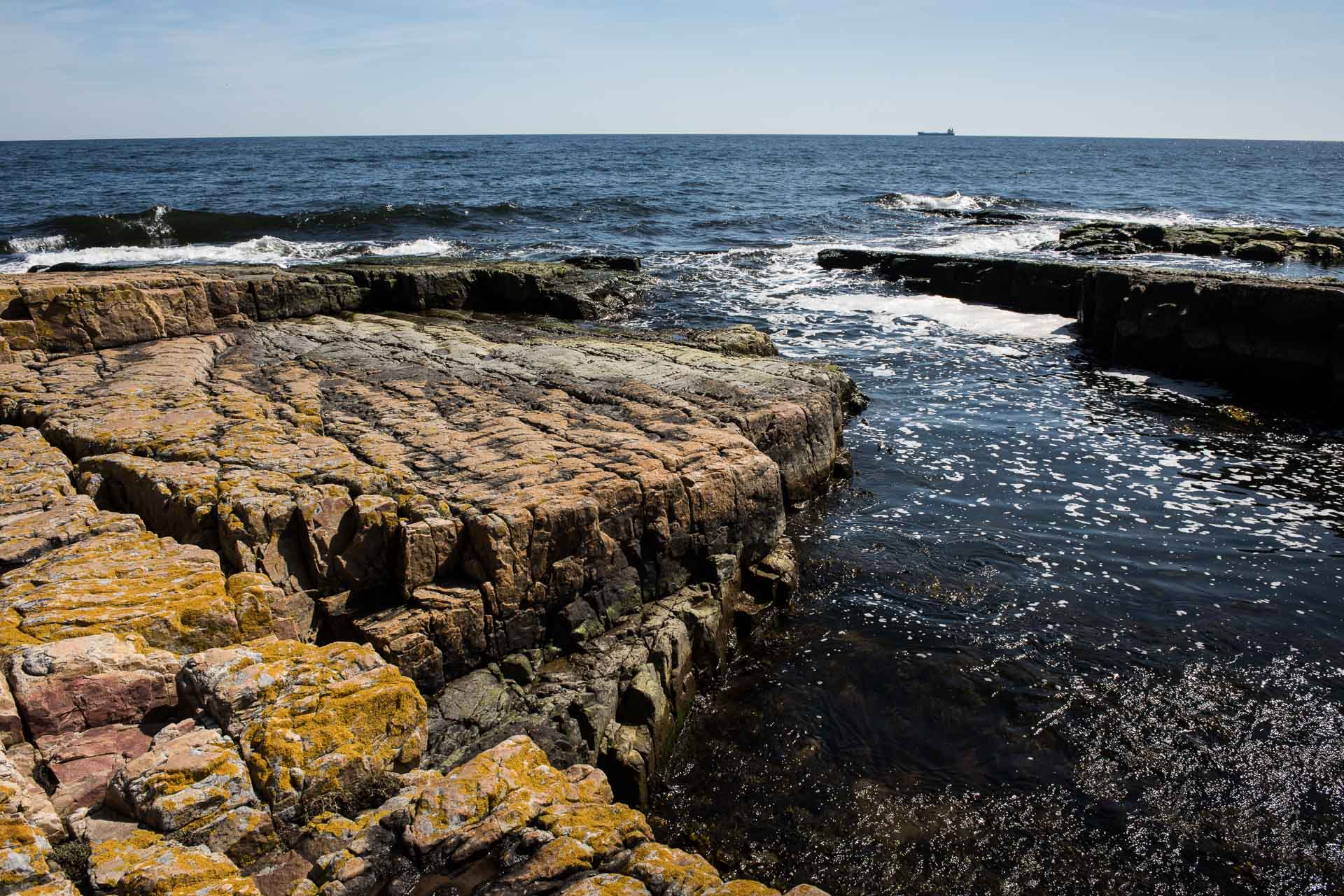
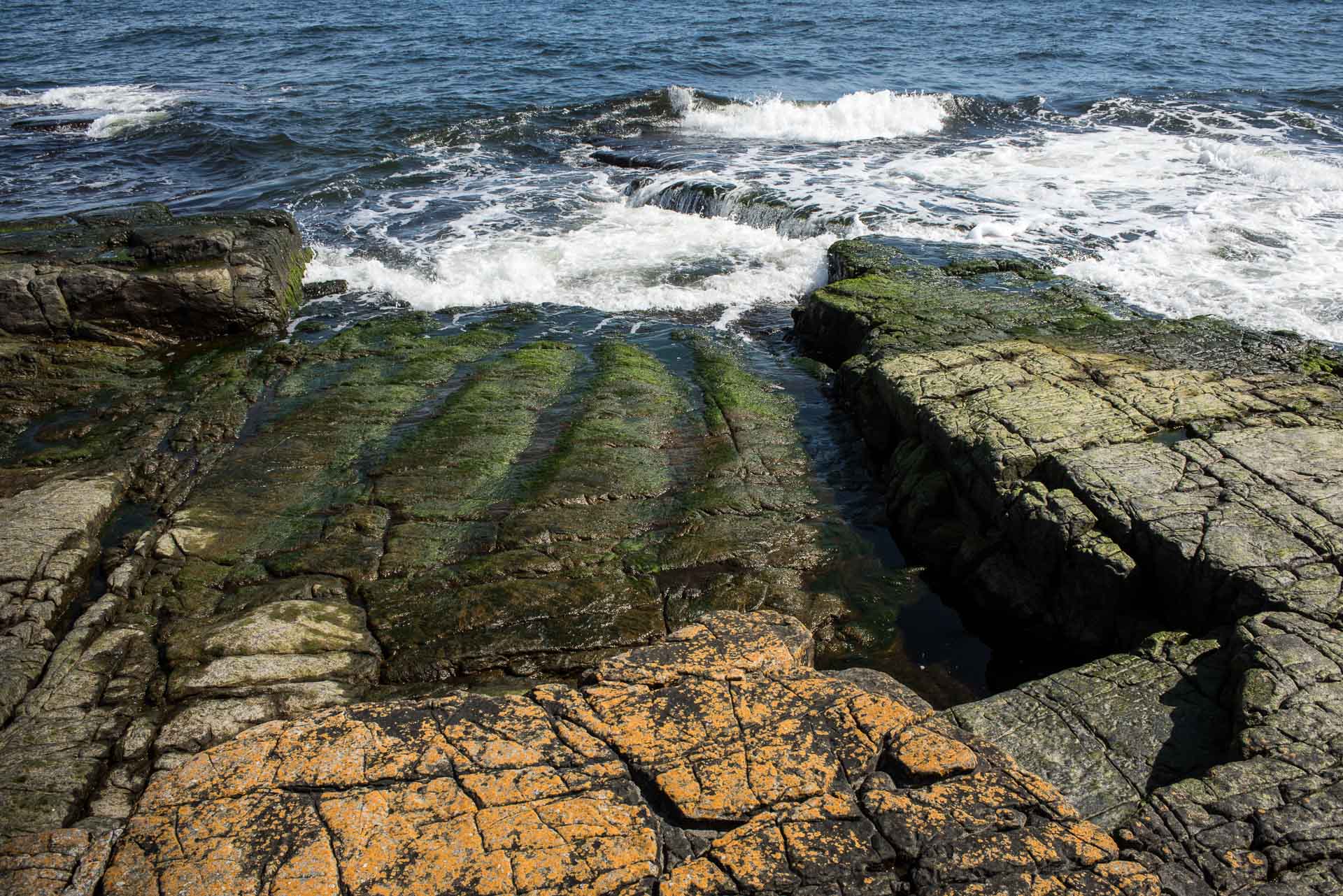
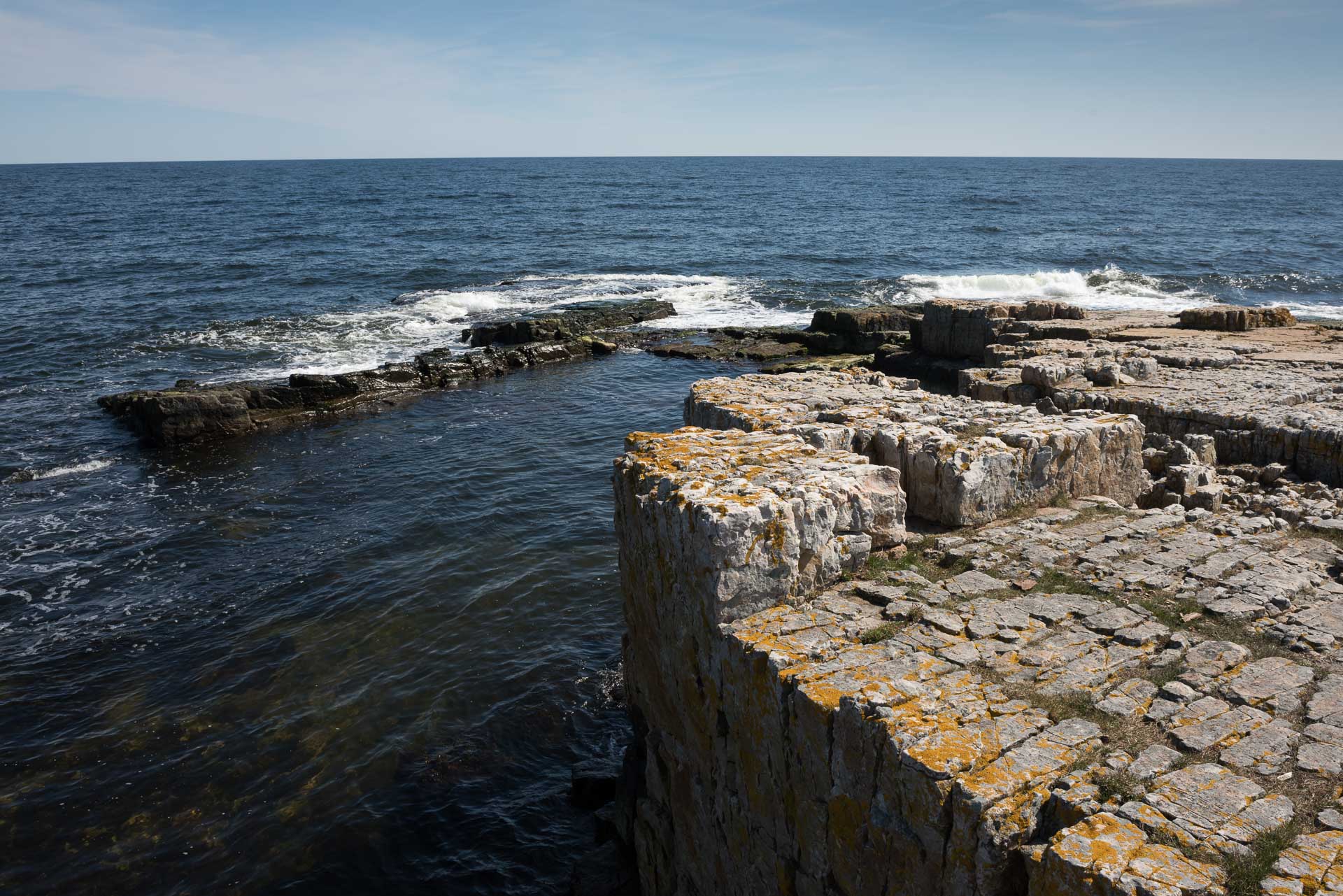
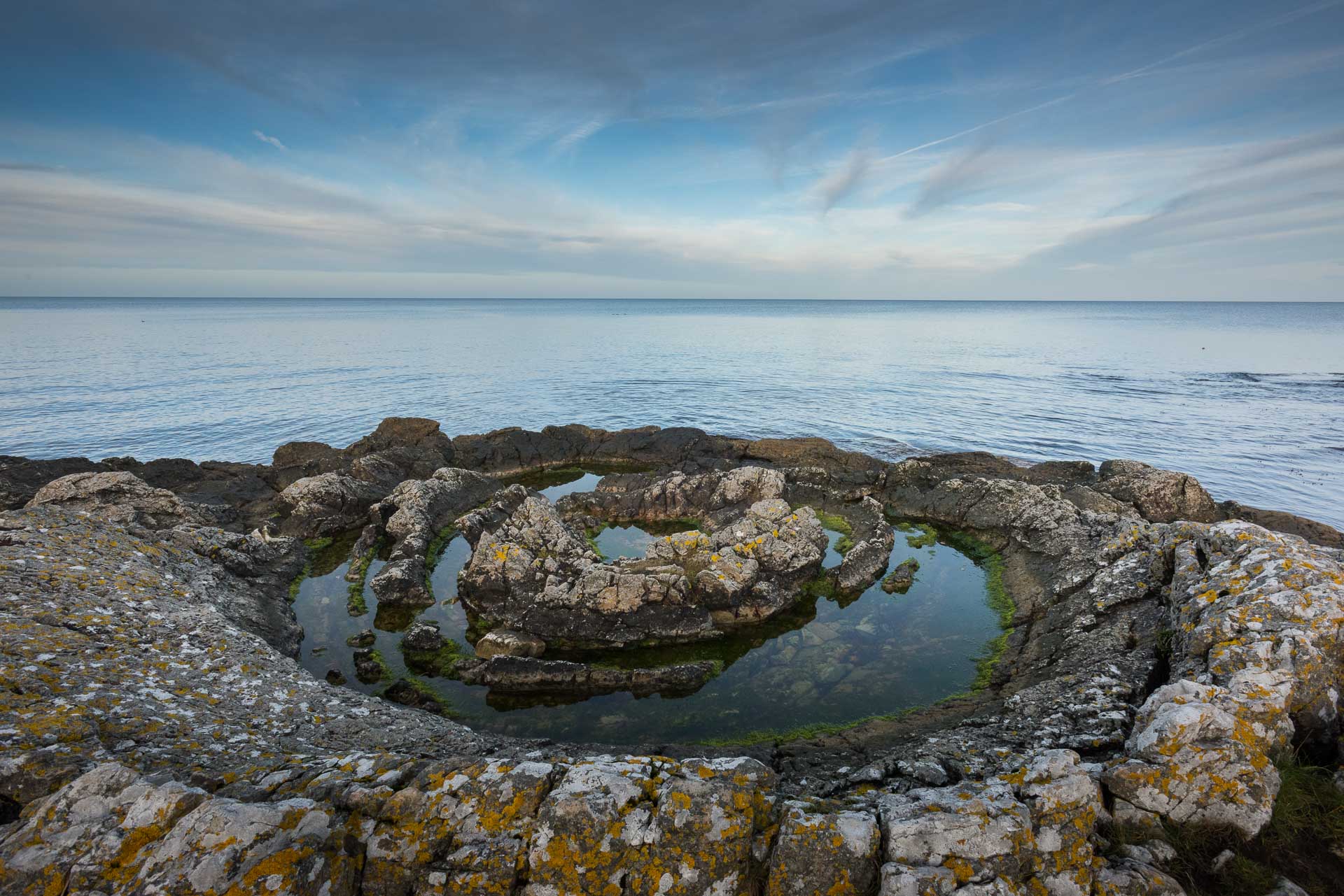
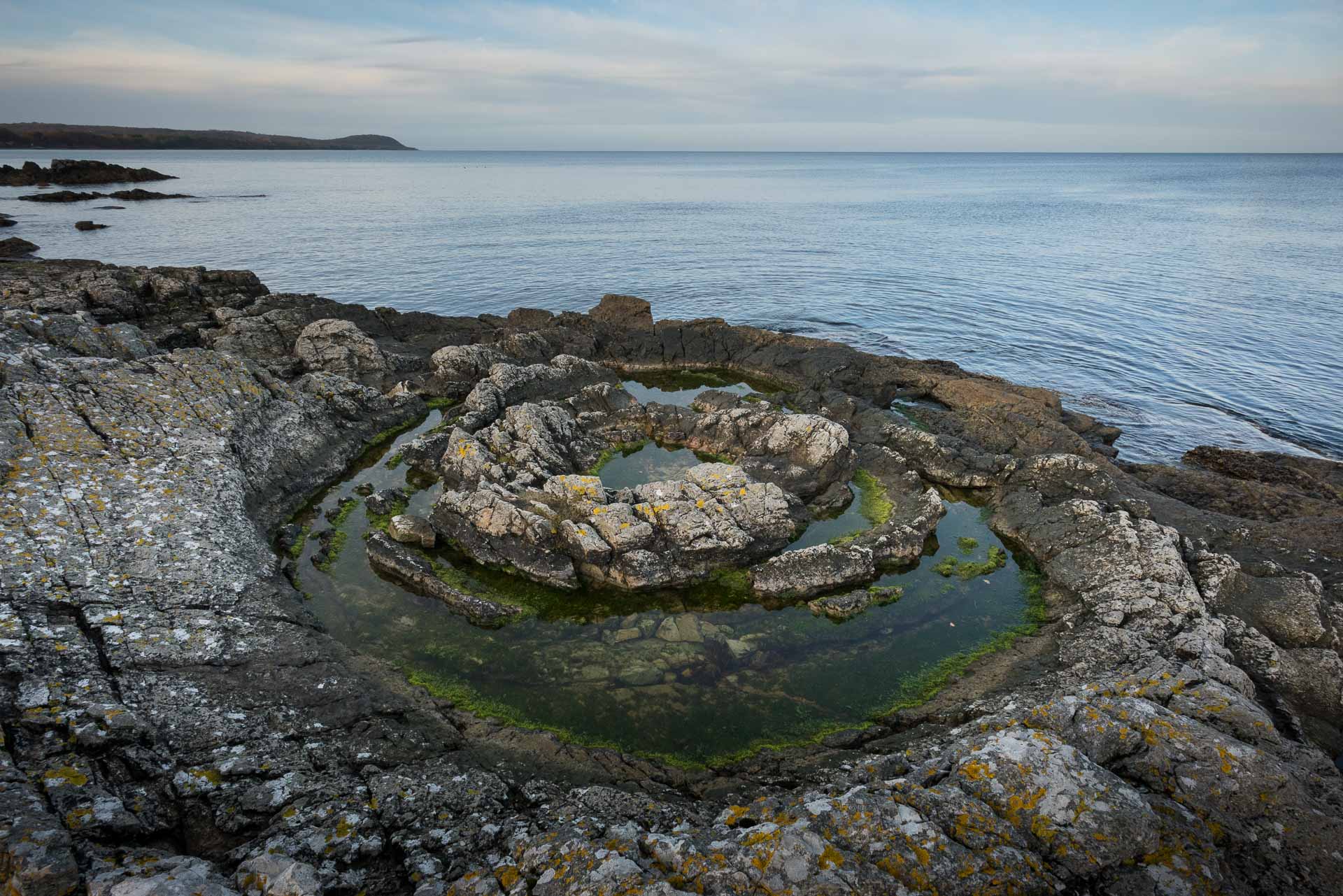
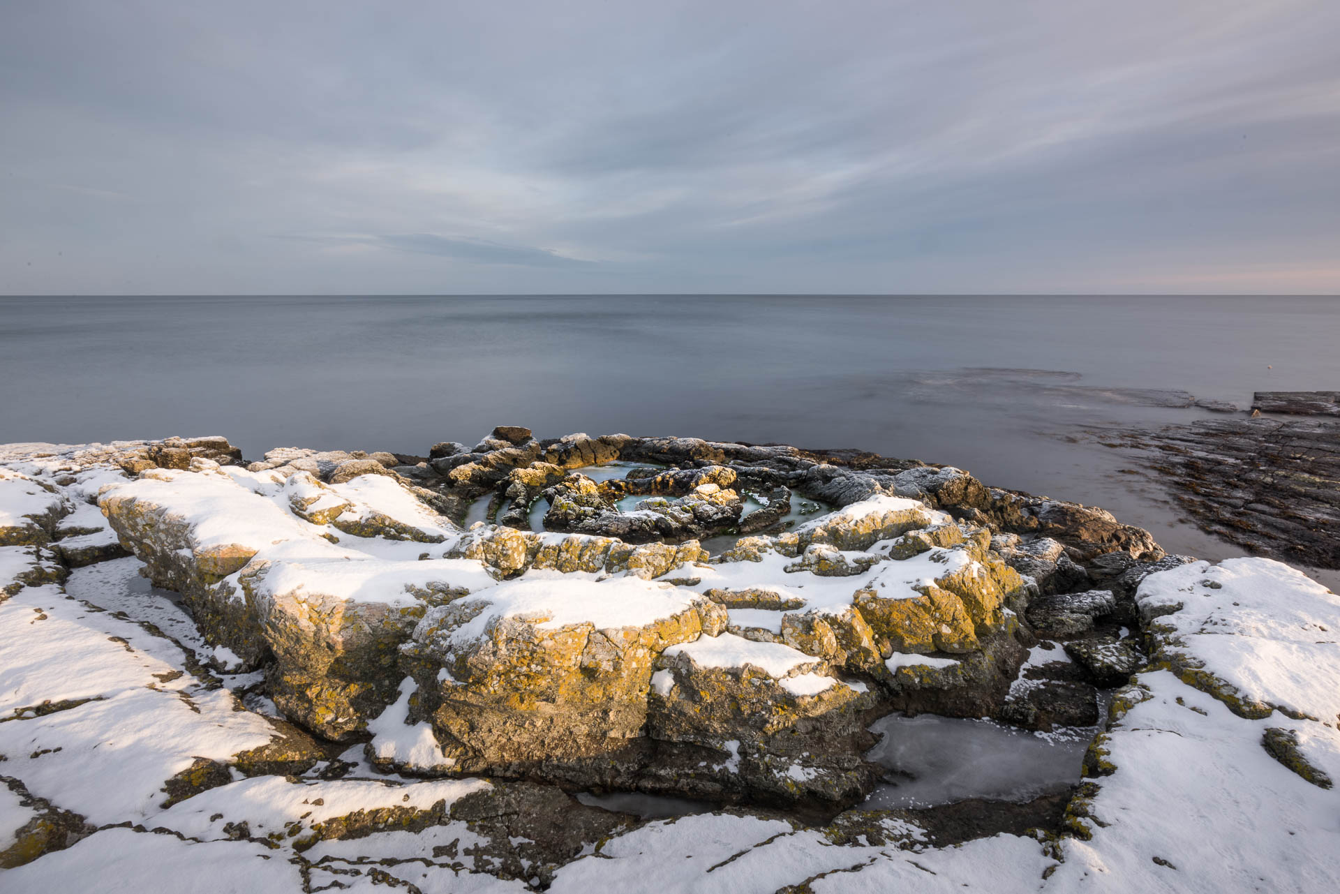
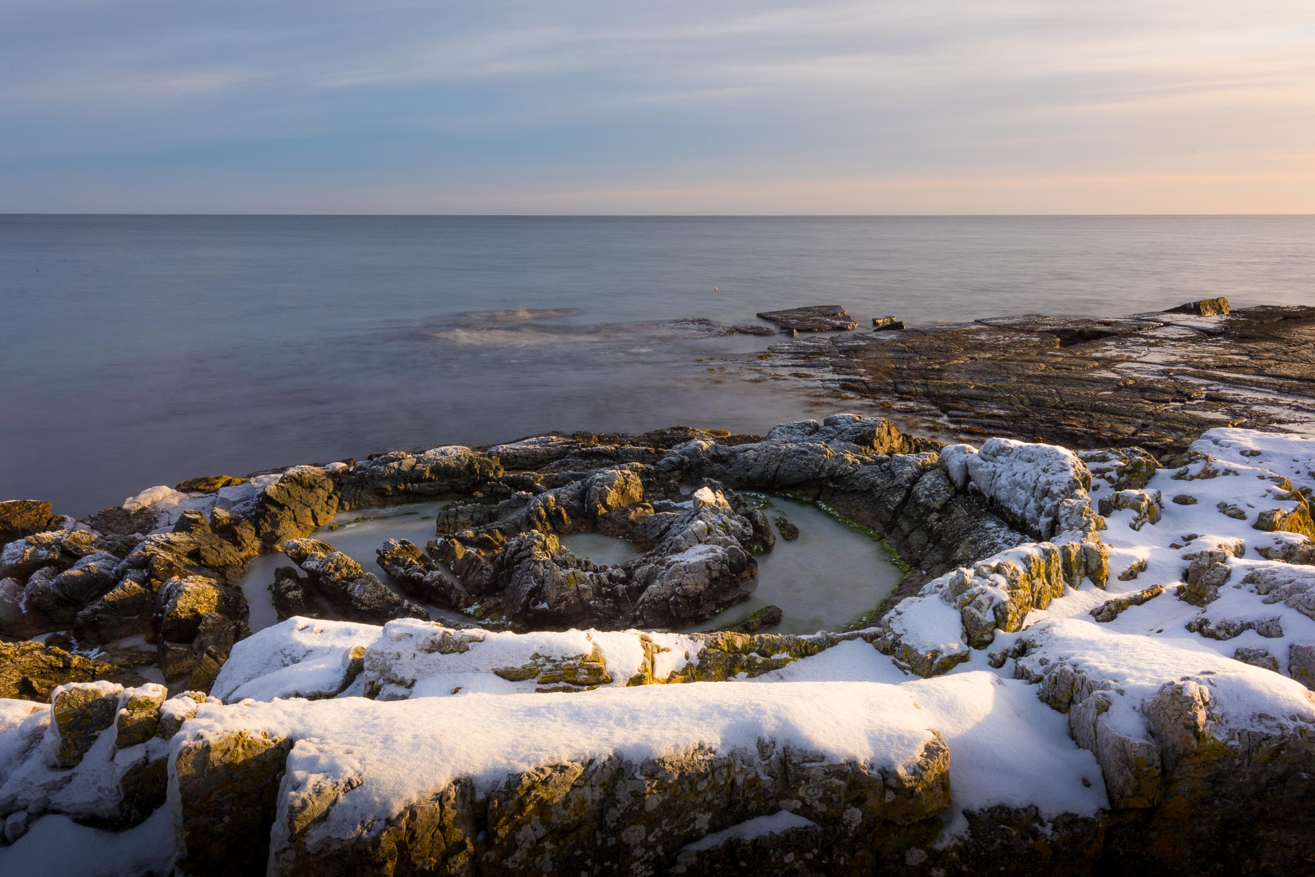
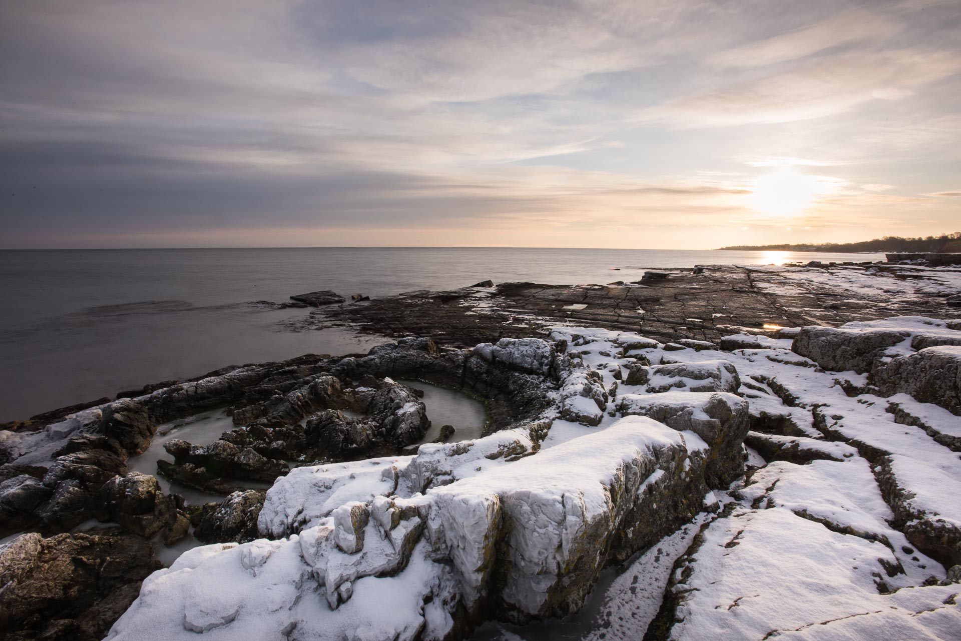
The Priest’s Bath Tube
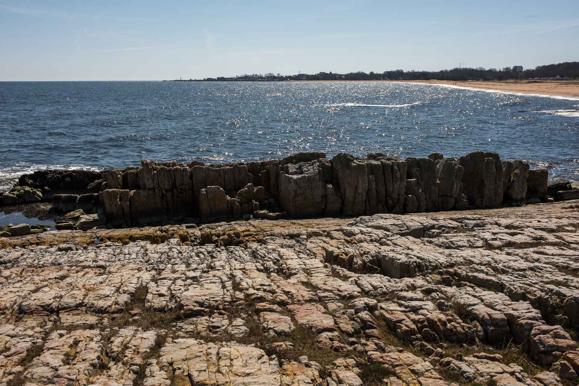
South of the old fishing hamlet Vik are big, exposed rocks of early Cambrian sandstone. The sandstone was created in shallow coald sea on 10 meters deapth with tide for 550 million years ago. The sandstone is rich on the trace fossil Diplocraterion parallellum clearly visible on the rocks surface.
As sandstone is a sedimentary rock it often contains fossils or traces of fossils. Sedimentary rocks are formed when small particles, eg sand, sinks to the sea bottom and buries dead organisms preserving them for the future, ie fossilize. Trace fossils represents trench tracks and was made by wormlike creatures.
The most spectacular structure is the unique flowerlike formation in the rocky coast, the so called “Priest’s bath tube” or “Rosen stone”. The structure is around 5 m in diameter and consists of concentric circles of vertical sedimentary layers. The geological formation thought to be a sand volcano which is formed when trapped water is pushed up through the bottom and a cone of sand is formed. This cone then collapsed into itself before it was hardened and created the formation. This happened half a billion years ago. The English term for this formation is “funnel graben”. An alternative hypothesis is that the underlaying hard rock cracked allowing sand to flow down like in an hourglass thus leaving hard vertical parts.
According to a legend, the name comes from a priest in the 19th century who had a huge body. He did not fit in a normal bath tube so he came up with the brilliant idea to take his daily baths in the sea. The rock formation became like a normal bath tube for him.
There are about 100 of these formation in the Österlen area, but only this one is visible.
Tjörnedala
North of Baskemölla is the beautiful Tjörnedala recreation area. The beaches are stony and covered with coarse-grained sand.
Vårhallen
Further south, just north of Simrishamn is Vårahllen in Tobisvik, where peculiar formed sandstone rocks emerge into the Baltic Sea.
The rocks at Vårhallen were formed during the Cambrian era half a billion years ago when the are still was covered with water. The sand was pressed forming horizontal layers with sandstone that was washed clean when the water retracted making toda’s dramatic formations visible. The rock is filled with fossils and ripple marks from the past, which makes it a landmark for geologists.
A visit to Vårhallen is recommended during rush weather conditions as the edgy cliffs becomes more dramatic.